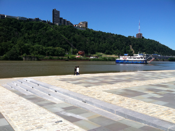
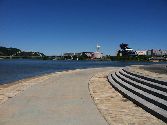
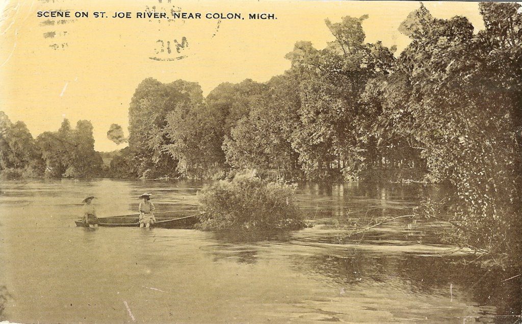
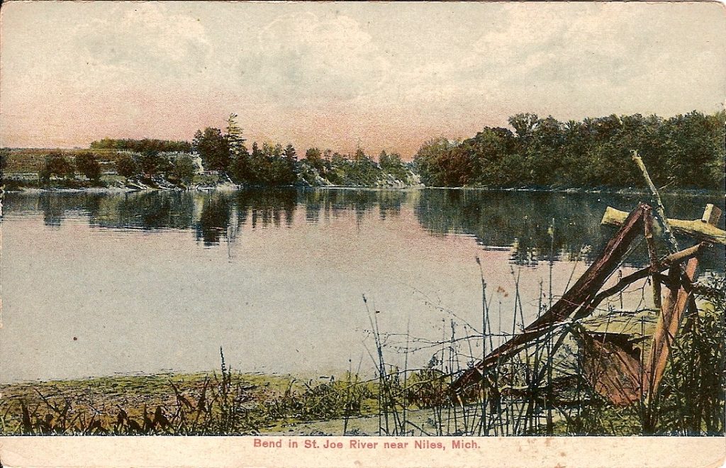
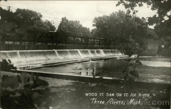
 The St. Joseph River is located in the southwest portion of Michigan. The St. Joseph River Watershed is important to many townships in Michigan. It spans the Michigan-Indiana border and drains over 4,000 square miles (15 counties) and empties into Lake Michigan at St. Joseph, Michigan.
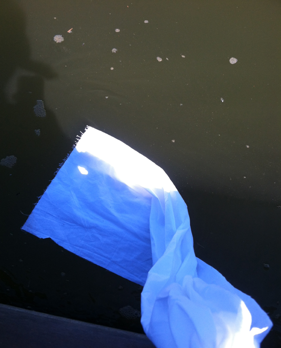
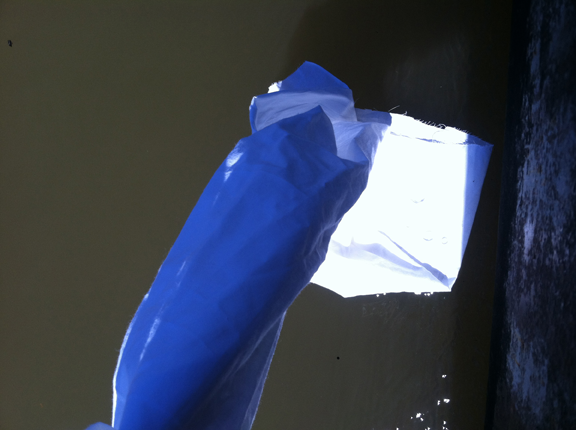
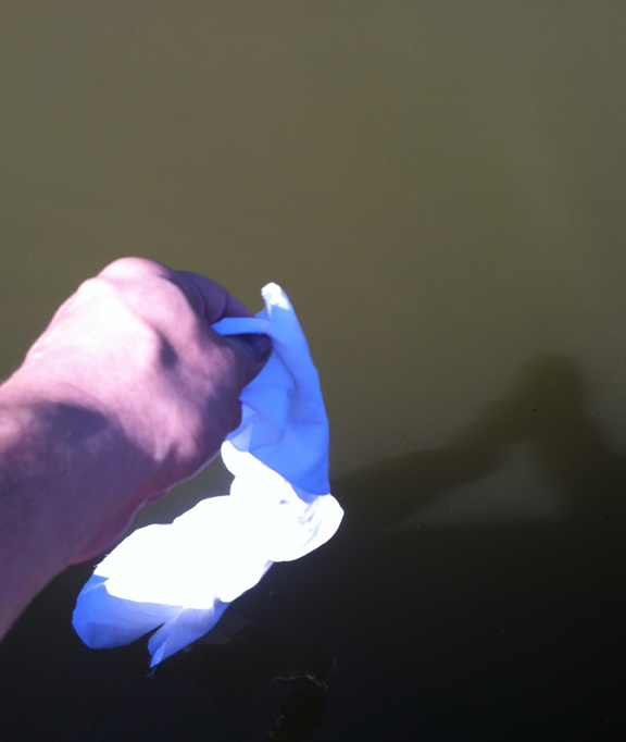
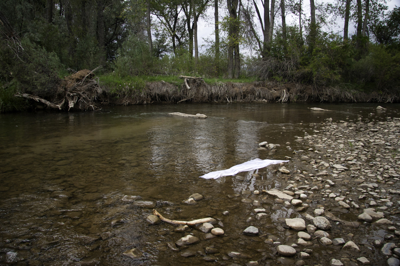
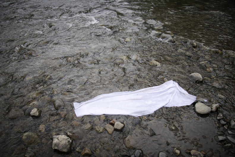
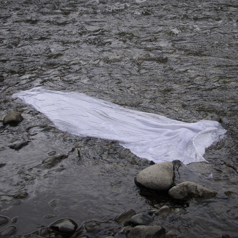
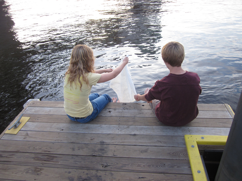
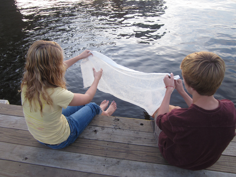
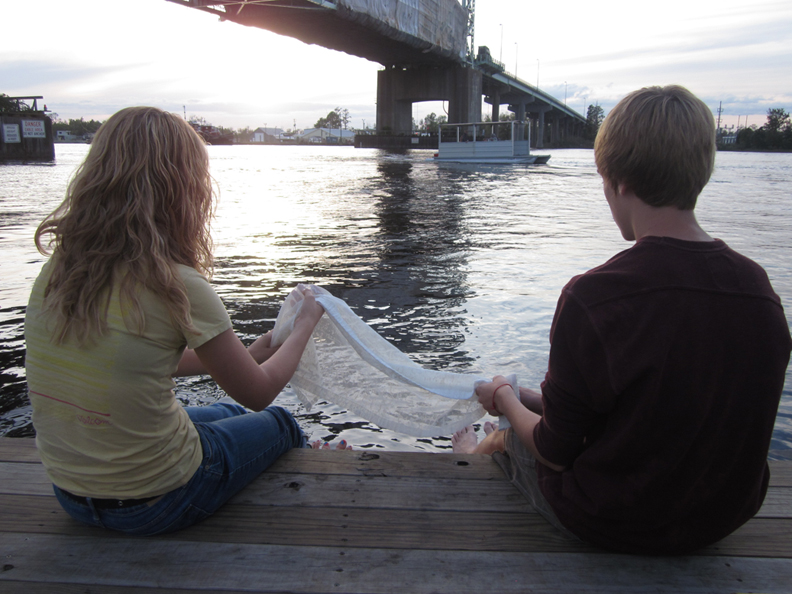
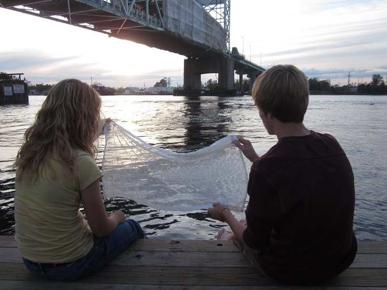
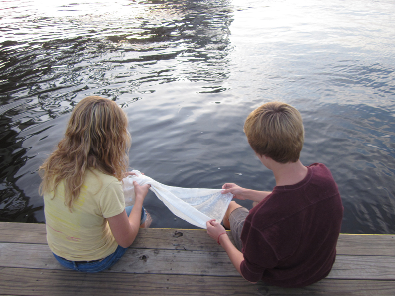
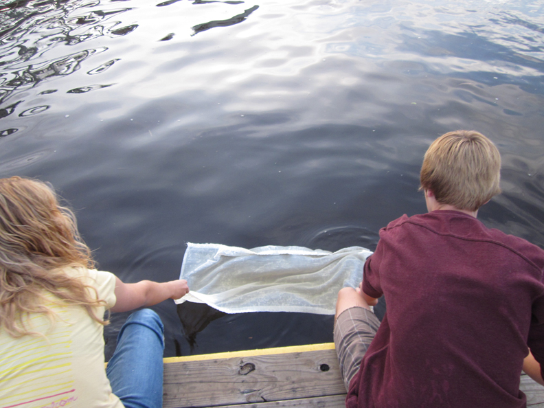
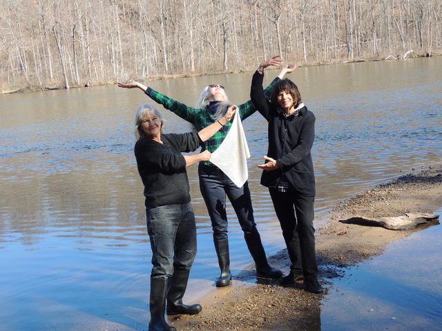
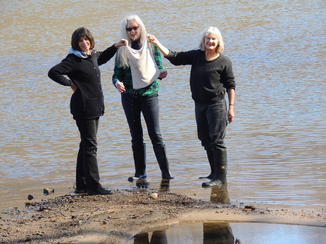
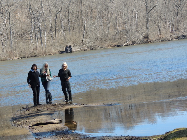
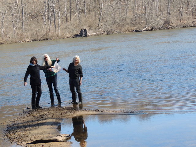
Heidi Hough spends time in St. Joseph, Chicago, and New Zealand cultivating her knowledge and care of the nature, plants, and sprouting greens. She dipped cloth in the river with friends Suzanne Fraker and Phyllis Kopriva.


St. Joseph River was important to native peoples dating back to 10 B.C. to the prehistoric people called the Hopewell. The Hopewell were hunter-gatherers and farmers operating a vast trading network stretching across the valleys and forests of the central United States.
The Hopewell built burial mounds in the states we now call Michigan, Illinois and Ohio. A number of other Middle Woodland period cultures are known to have been involved in the Hopewell tradition. Artifacts made from the natural resources have been discovered such as carved obsidian, bowls, and pots made from Michigan’s copper.
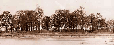
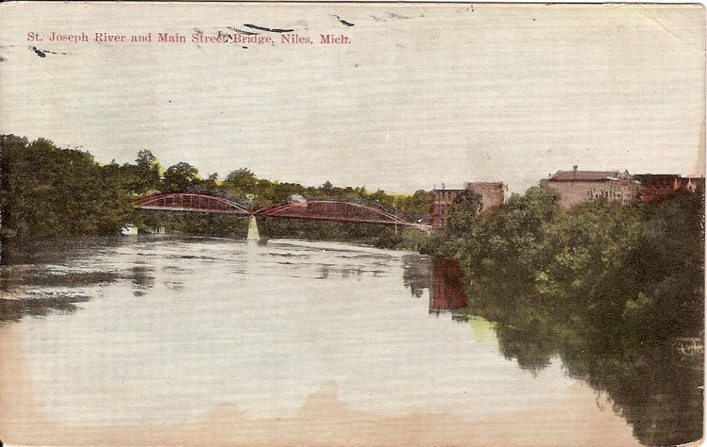
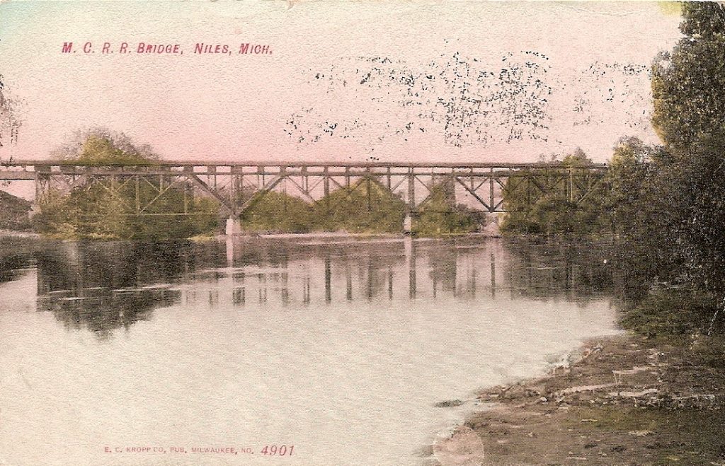
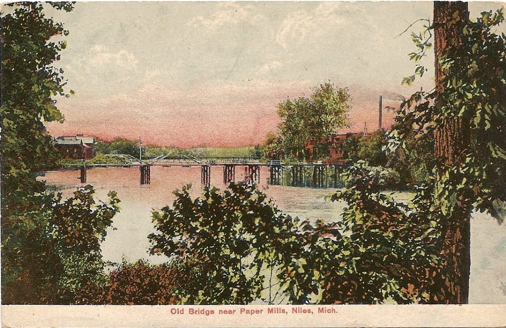
Two notable sites are the Norton Mound in Grand Rapids, Michigan and Hopewell Mounds in Ross County, Ohio. In the late 1800s settlers slowly eroded the mounds for the soil. 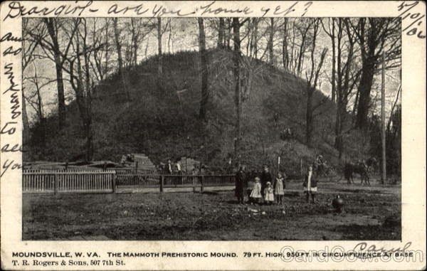 French explorers, missionaries and fur traders traversed the St. Joseph River Valley during the late seventeenth and eighteenth centuries interacting with the native tribes people. The French paved the way for a French settlement at Fort St. Joseph (present-day Niles) and in 1680, Fort Miami was established at the mouth of the St. Joseph River.

Parts of Michigan were settled in the early 1800s with the opening of the Erie Canal in 1825. Pioneers were attracted to the unbroken plains of fertile land and waterpower possibilities.


Settlers had to endure difficult conditions of weather and situations of disease to master the crop production of wheat and corn. St. Joseph was officially organized in 1829 with a population of one thousand people growing to seven thousand settlers by 1840. Today, the watershed is still largely agricultural. More than 50% of the riparian habitat is agricultural/urban, while 25-50% remains forested.


An interesting headline is a story about an iron factory built next to the river in 1832.