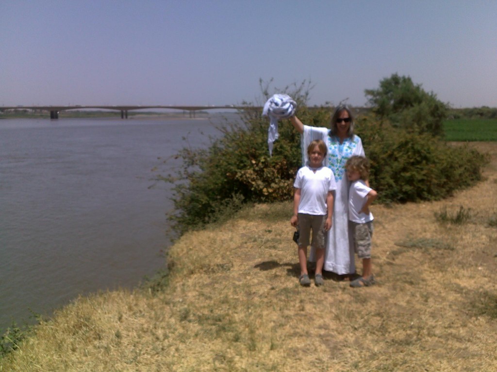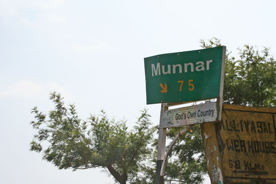
MUNNAR, India
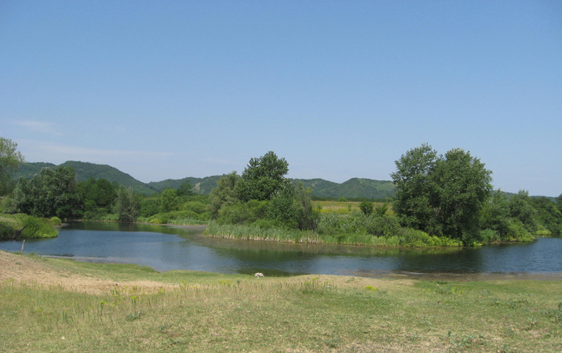
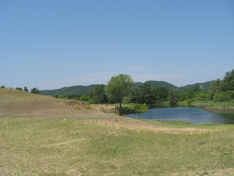
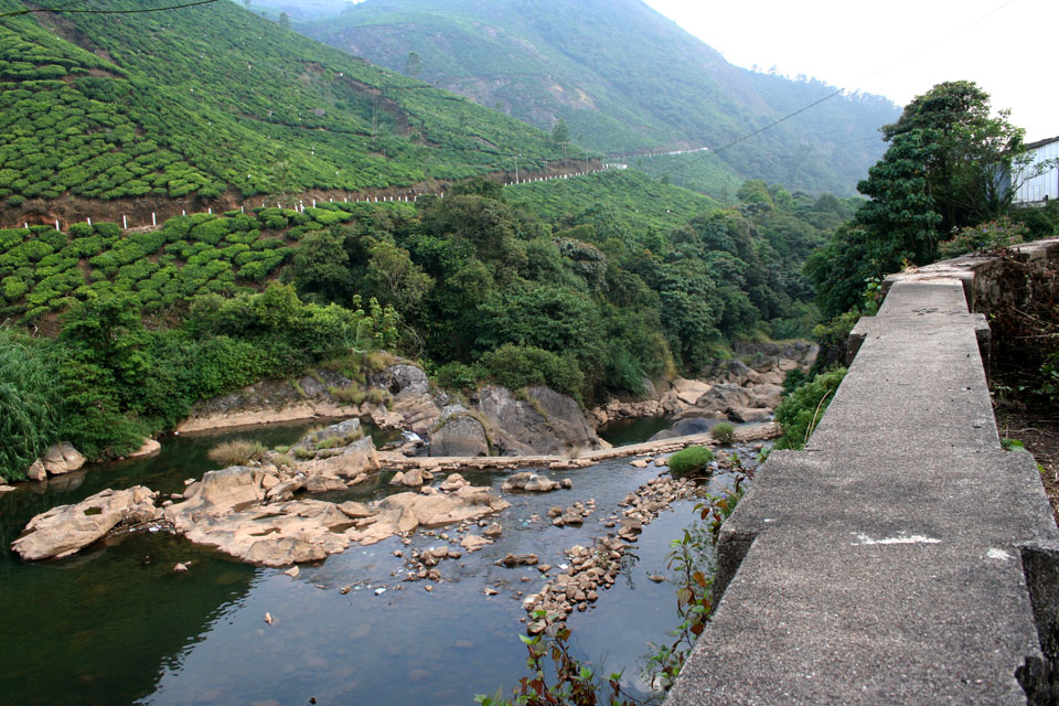
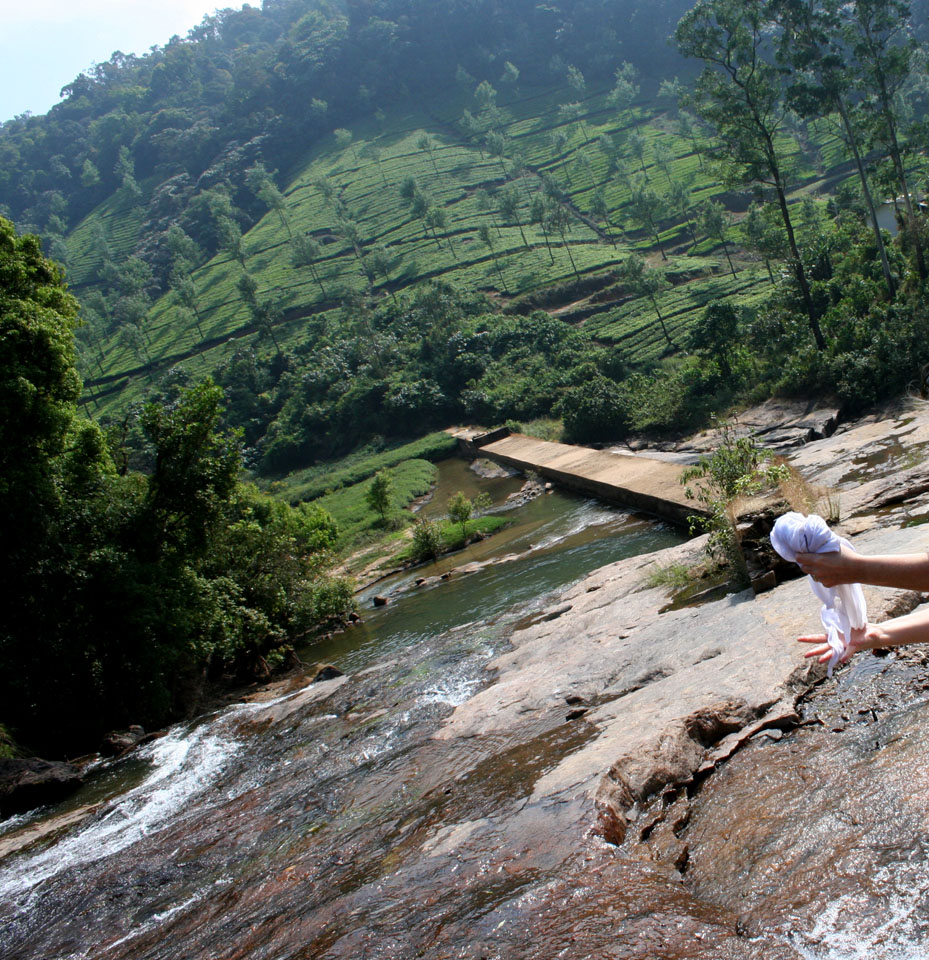
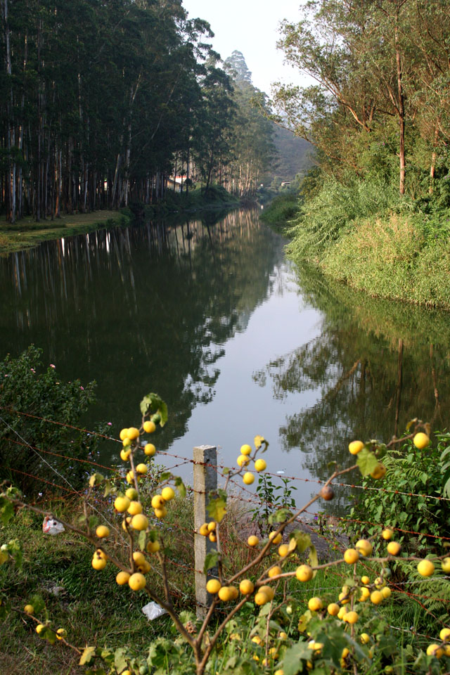
I am here in the lush, tropical landscape of Munnar, an Indian resort town formed by hills and tea plantations, which fall away beyond cerulean mists in the distance. The name Munnar is conjoined from Munu (three) and aaru (river), words taken from Tamil and Malayalam, two overlapping languages heard in this southeastern Idukki district of Kerala state which borders neighboring Karnataka, where Tamil is the predominant language. At an elevation of nearly 7,000 feet, Munnar lies at the convergence of three vital waterways, the Muthirappuzha, Nallathanni, and Kundaly rivers.
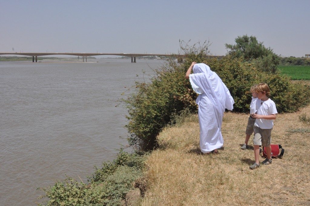
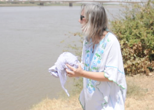
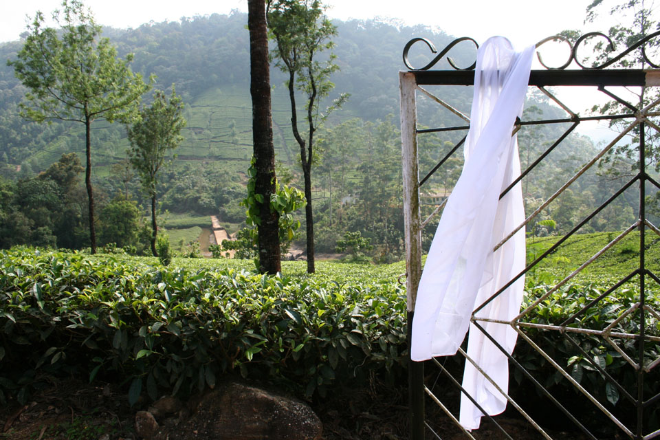
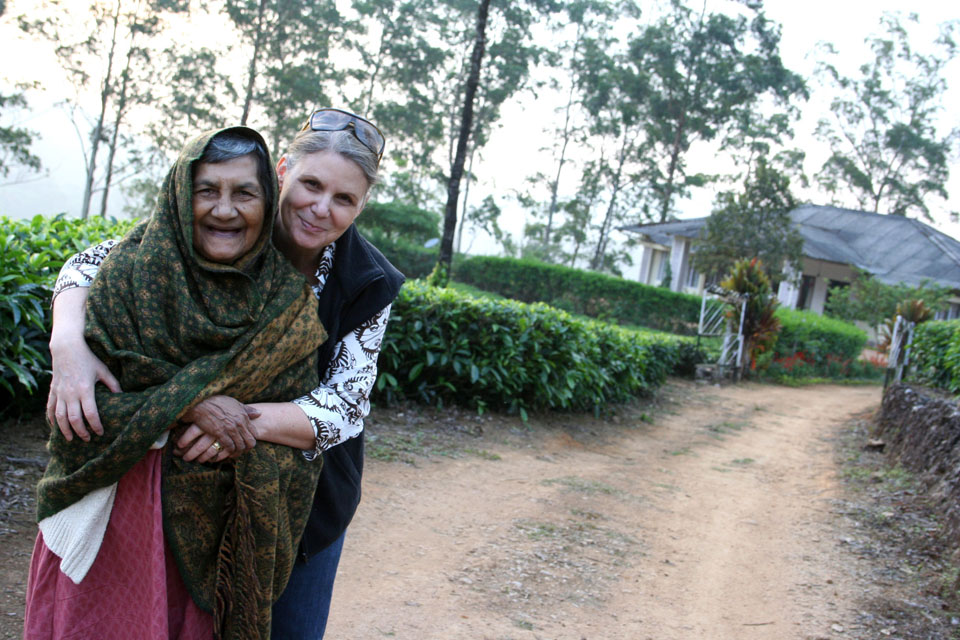
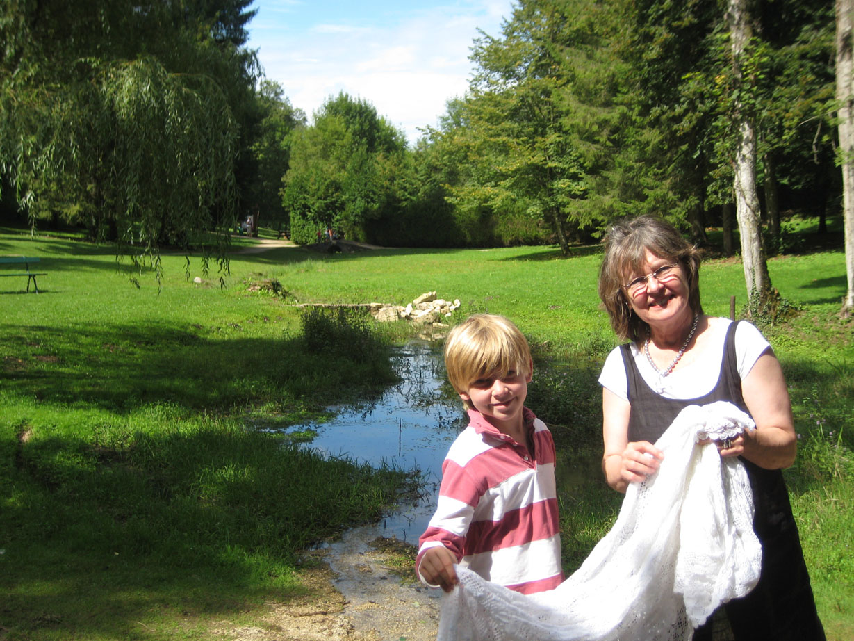
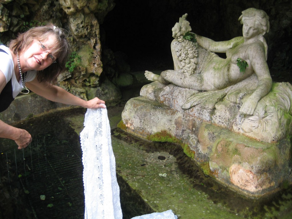
Hours before dipping my mother-in-law’s white veil in a tributary that flows before me, I wave hello to a woman there as she dries her laundry on the surrounding rocks. Perhaps, she is a tea picker, an employee of the tea company; I do not know her nor do I speak her local dialect, but I am glad when she waves back, pausing for a moment to include me in her domestic routine. The hot sun has burnished her skin, and her colored sari—wrapped at the waist and pulled up to her knees—reflects the iridescence of moving water and life’s simpleness.
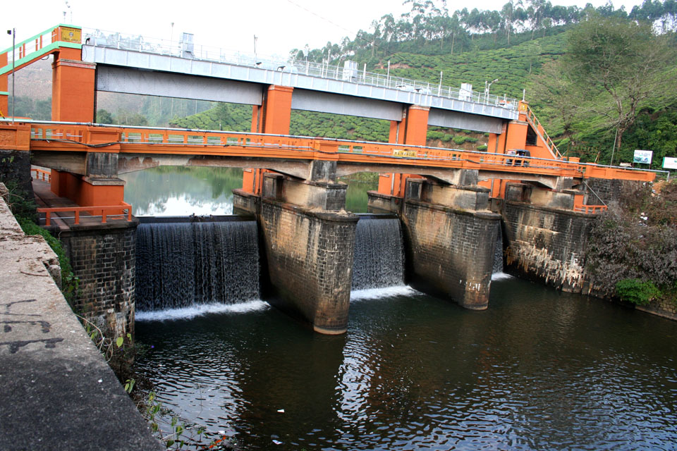
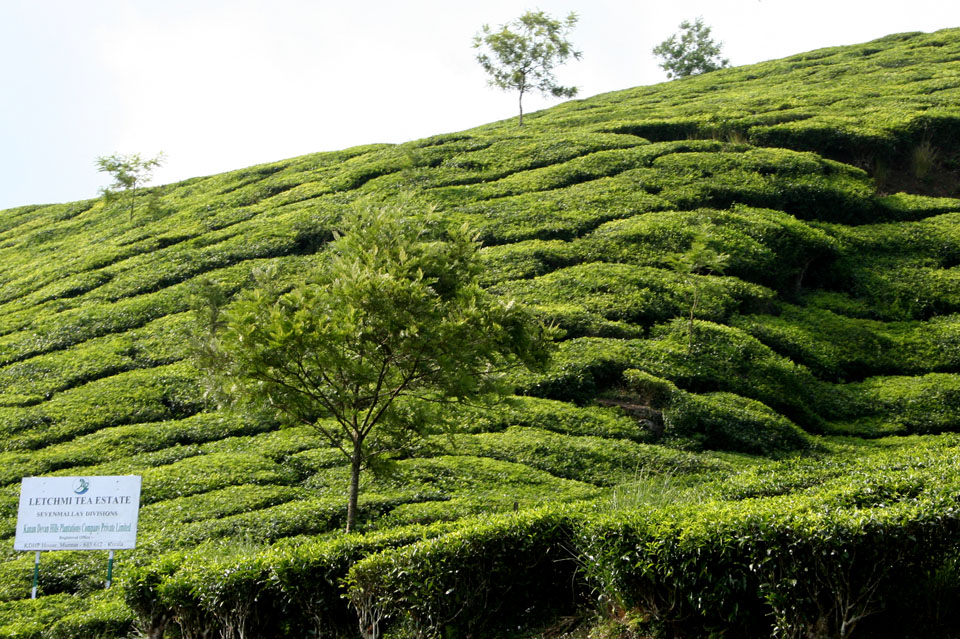
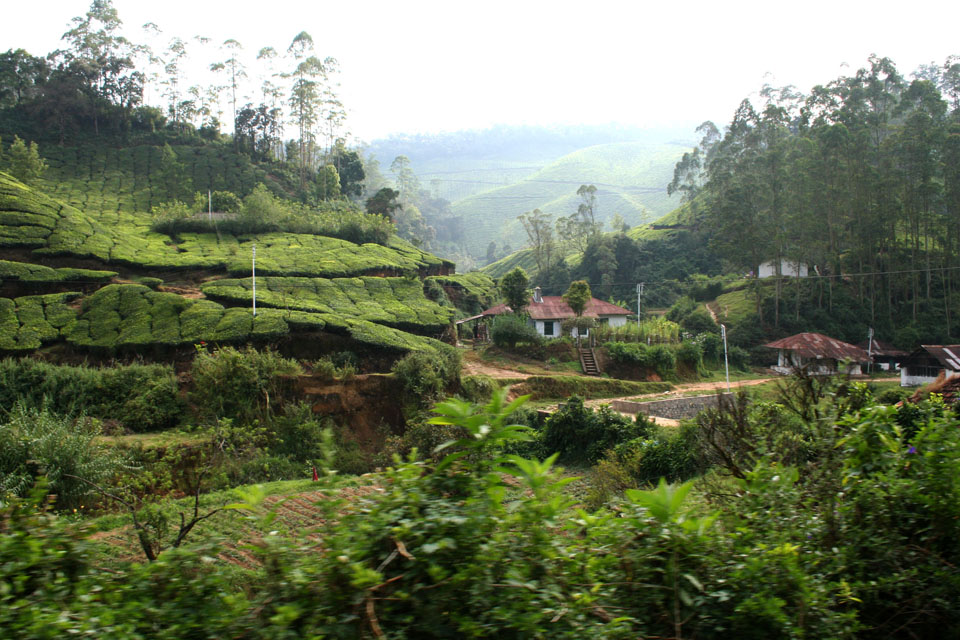
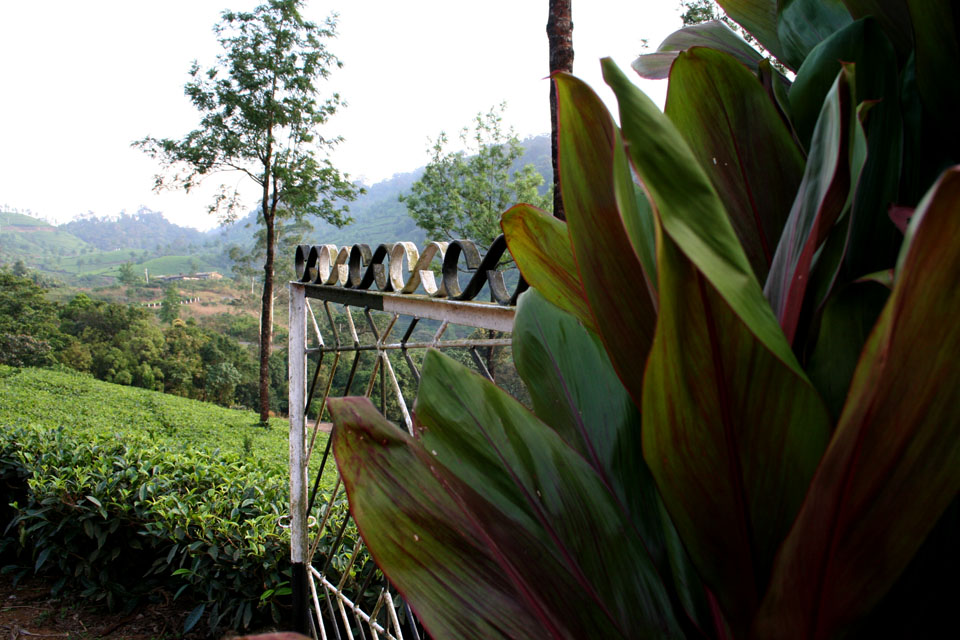
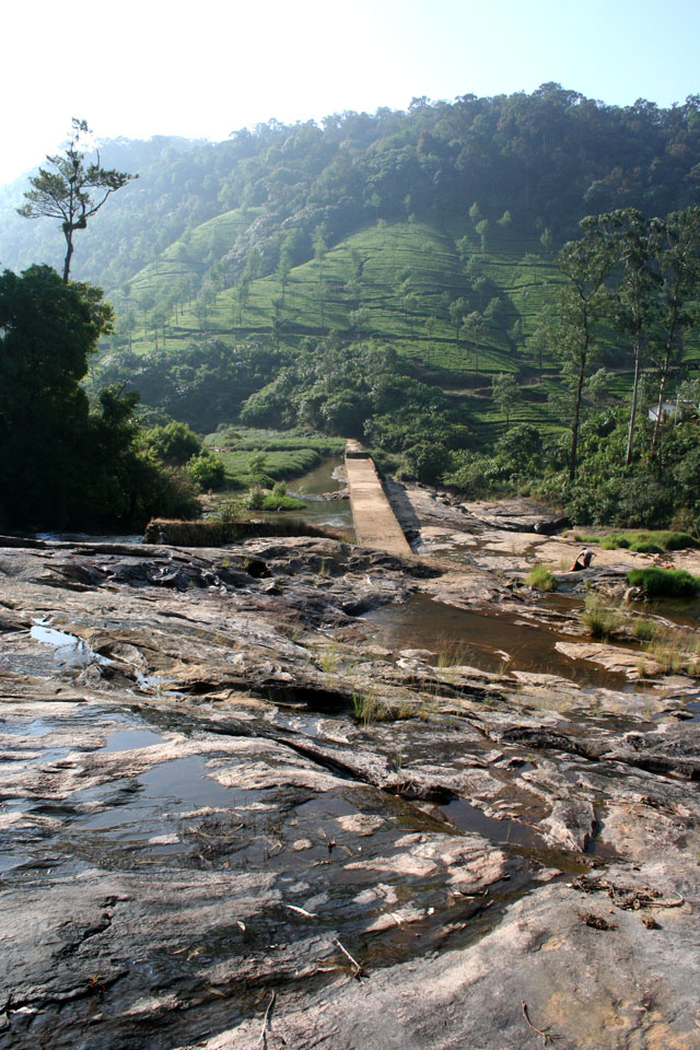
These waters run crystal clear alongside our rented bungalow that sits amidst the vast Letchmi Tea Estates; about fifteen kilometers away from Munnar’s congested main streets, we are now embraced in silence and deep inside a green valley that appears to dip, rise, and undulate. This place is often referred to as “heaven on earth,” a local guide tells me, and I can see that this is true, although I wonder where all the water goes—how many people touch this water and rely on it for their daily use, after it irrigates the tea plantations day in and day out?
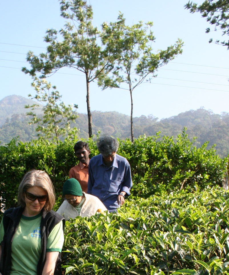
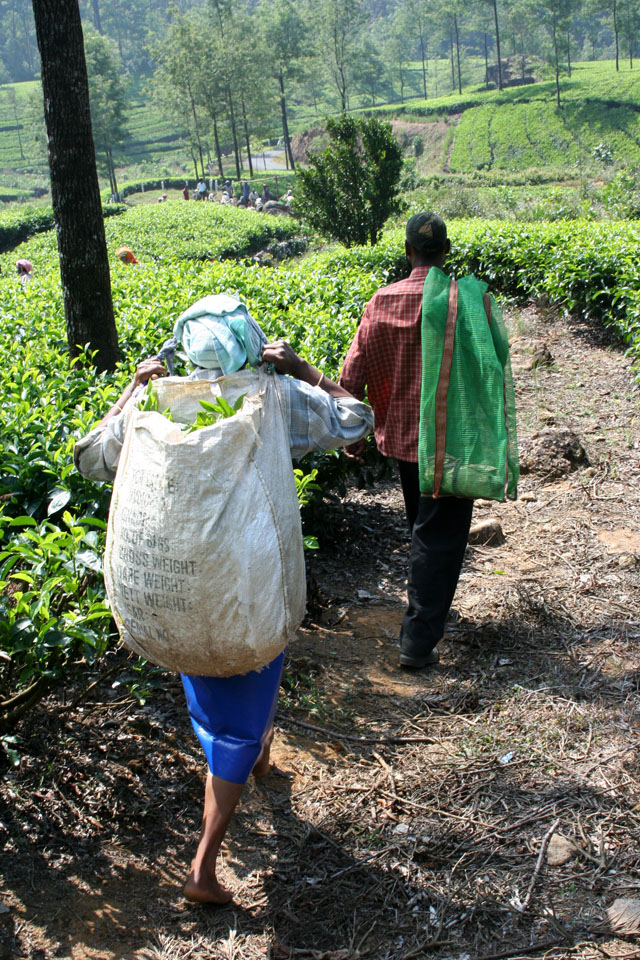
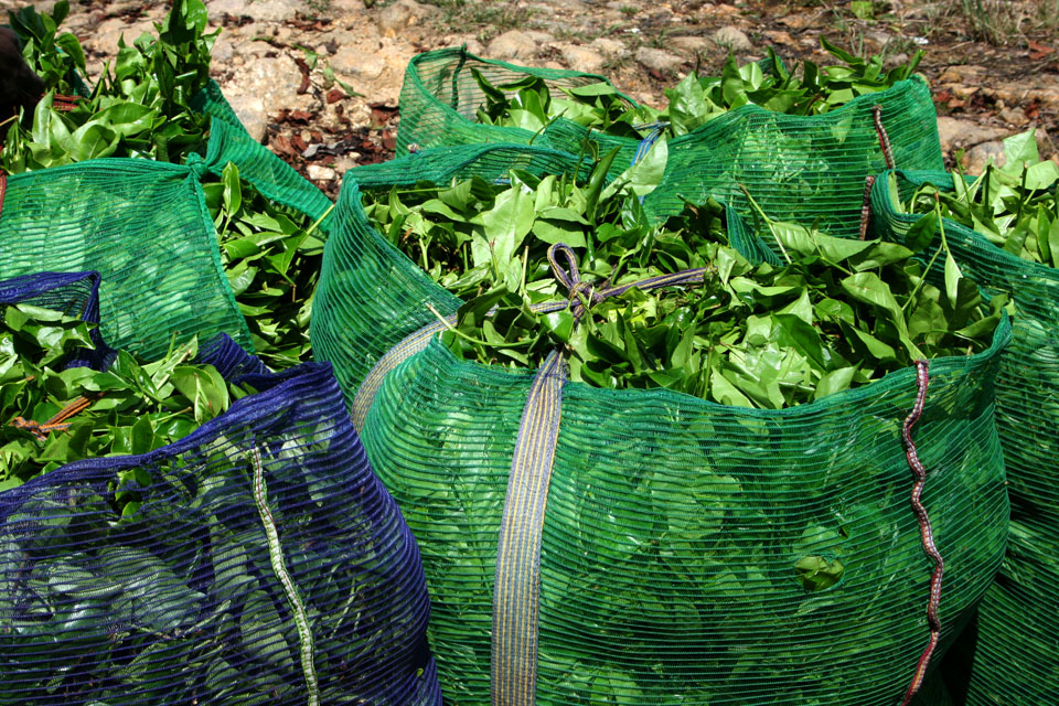
Munnar is one of the most beautiful places I have ever seen. The air is rich, unpolluted, and healing; my body feels cool and light, relieved of anticipation and divined by nature’s essence. As far as the eye can see, tea grows along terraced and patterned hillsides; a grid of pathways allows the pickers to reach every waist-high plant. High on the mountainside fog touches everything, and moisture remains in the air like tears resting on warmed skin. The locals in this plantation are employed by Tata, and they are given land, housing, medical services, and schooling for their children—for this I am glad. I catch their exuberance and questioning eyes. Women are the primary tea pickers here, because of the size of their hands and their ability to snap the twigs with ease. When their bags are full of fresh-picked leaves, they collect their harvest in large gunny sacks at the bottom of each hill, hoist the sacks on their heads, and then proceed to a weighing station by the snaking road. A manager makes a written note of each weighed sack, before workers truck the tea leaves to a processing plant elsewhere in the valley.
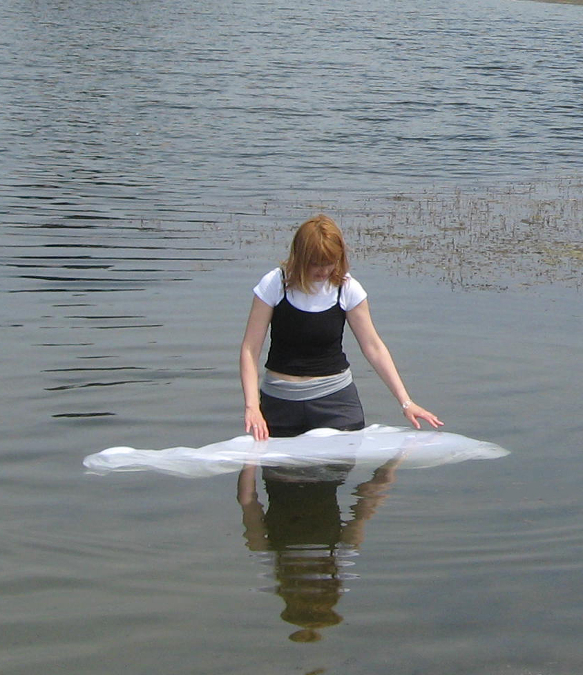
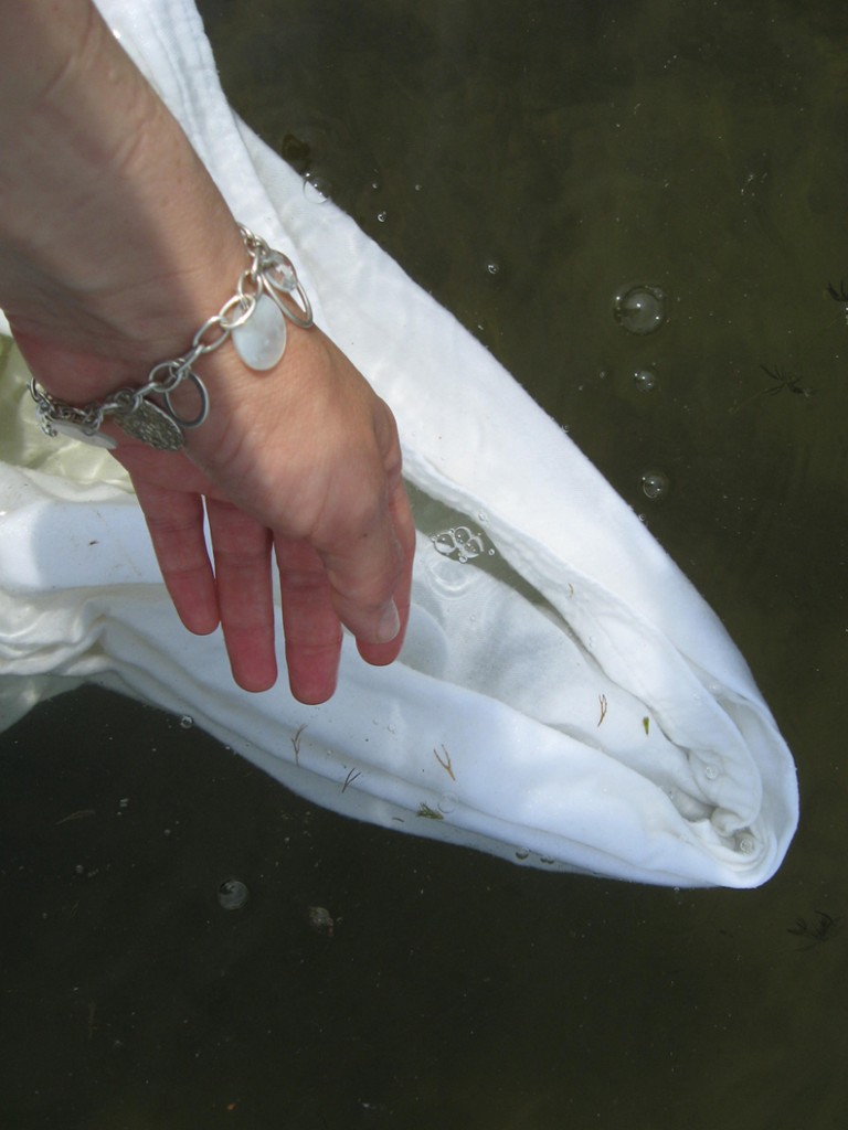
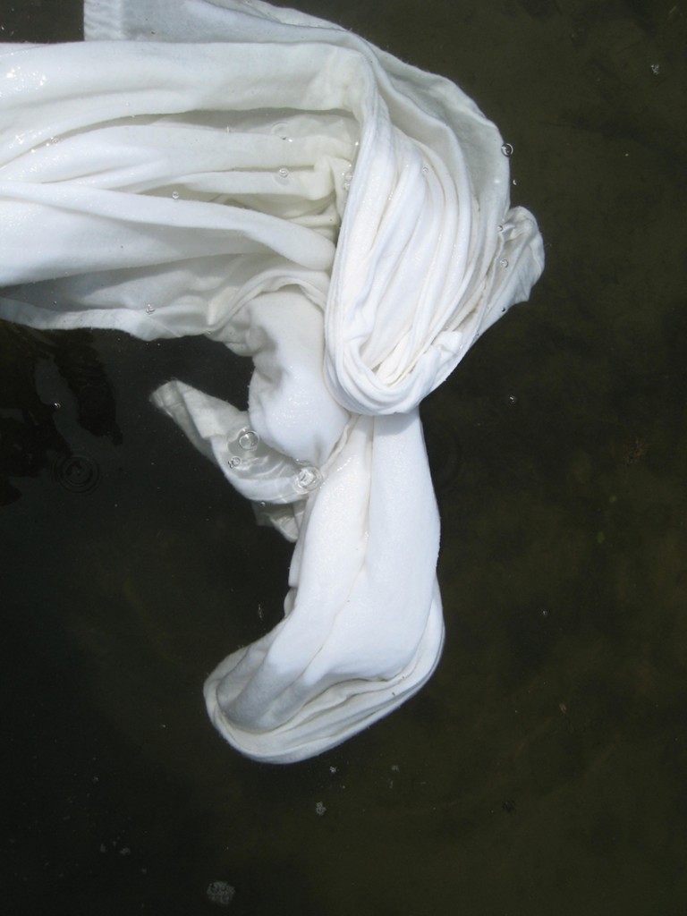
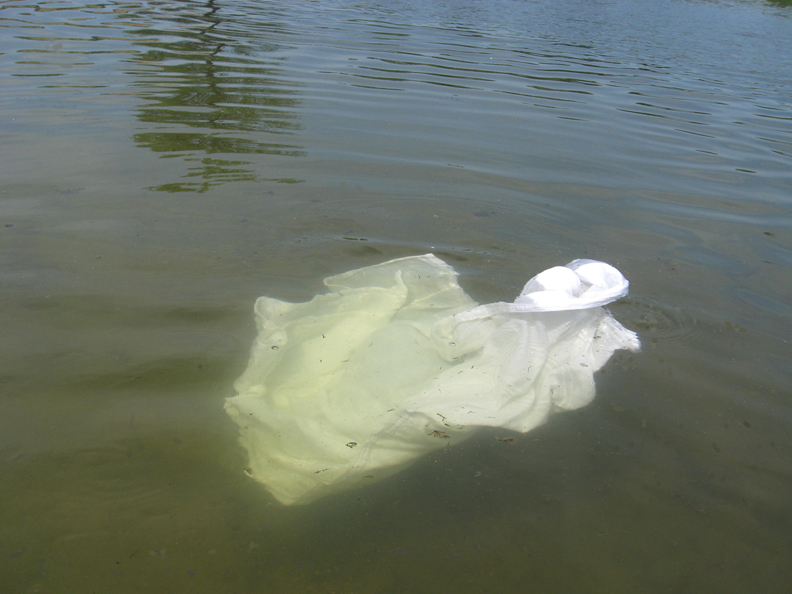
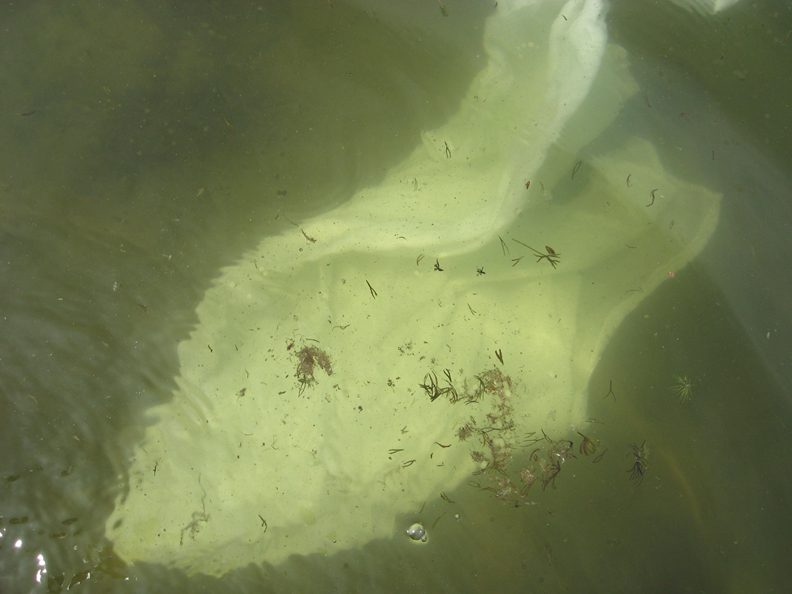
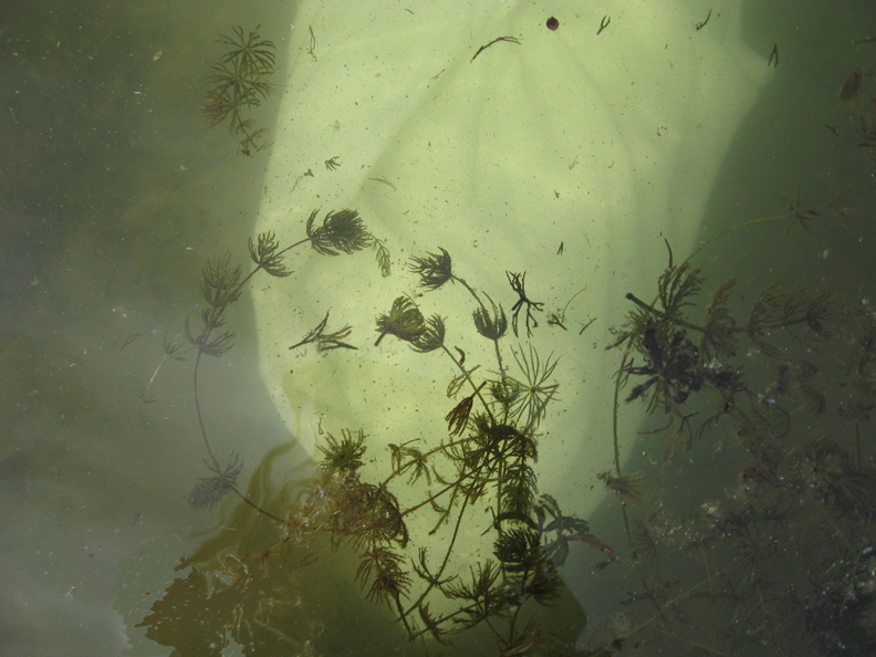
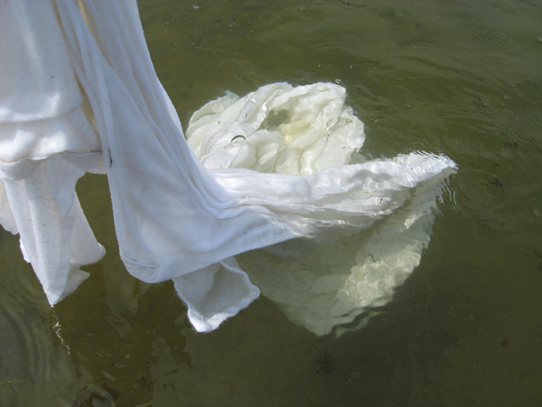
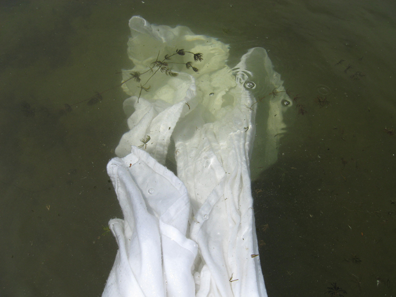
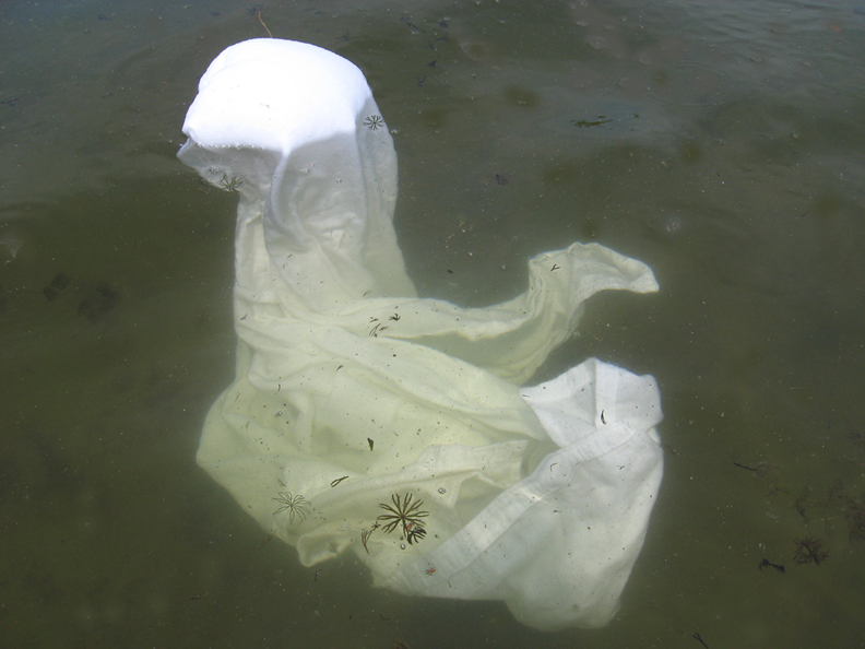
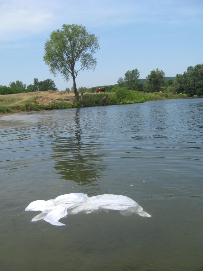
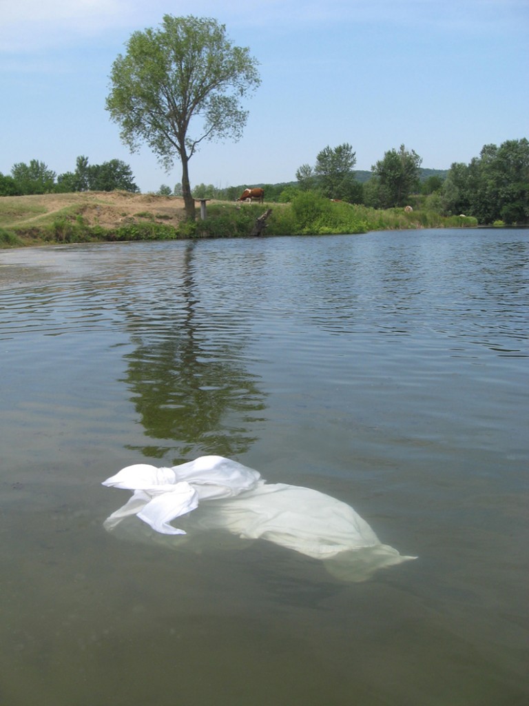
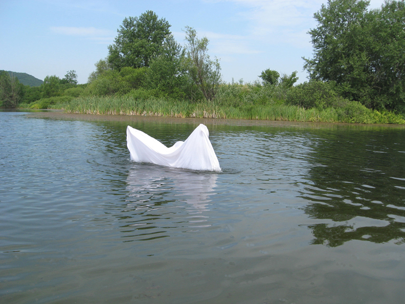
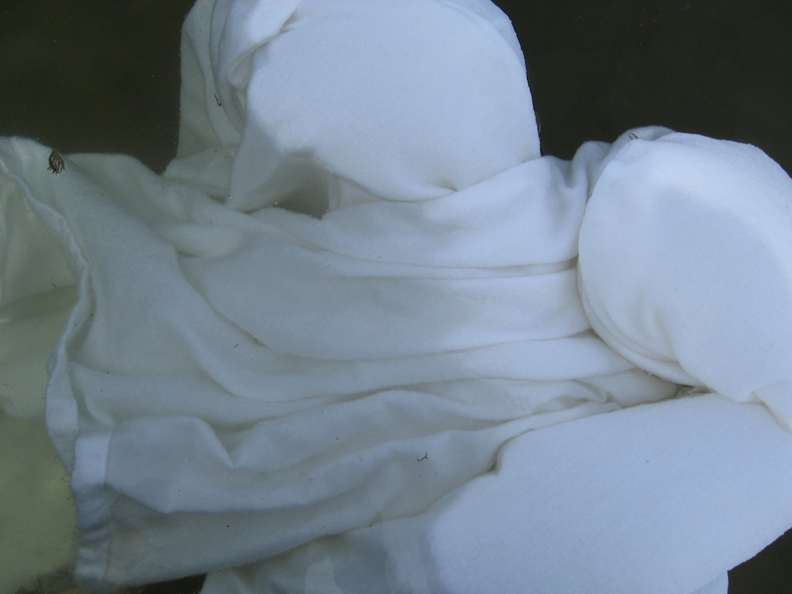
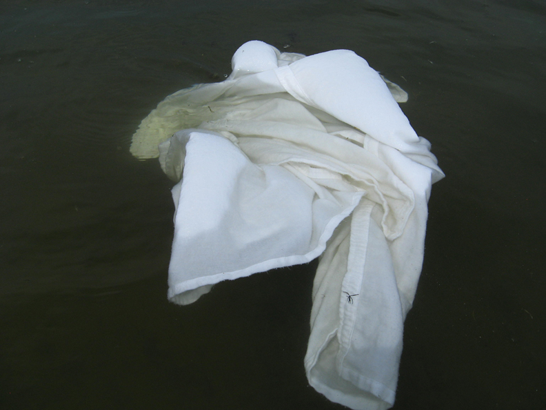
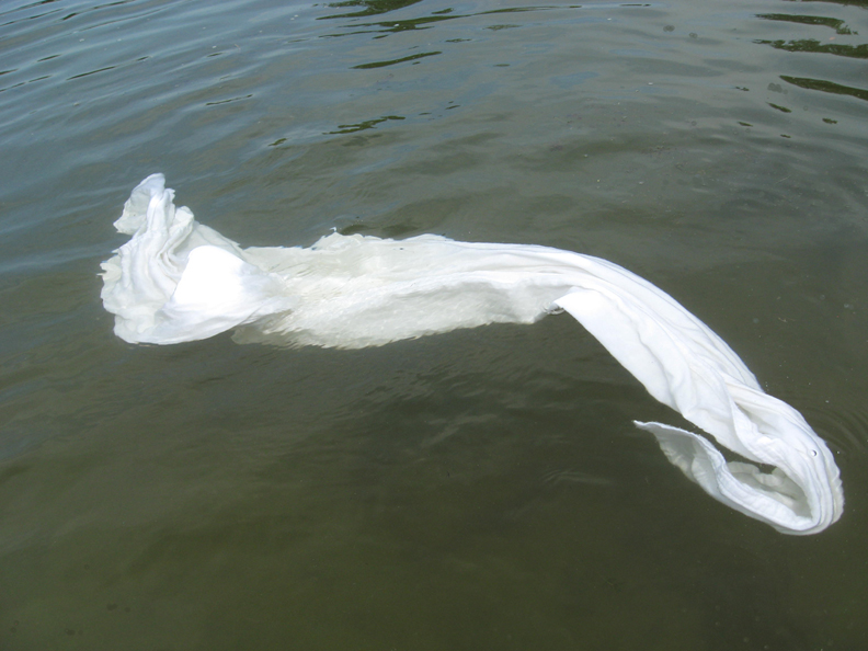
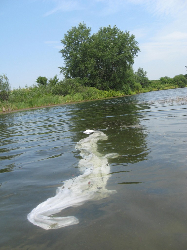
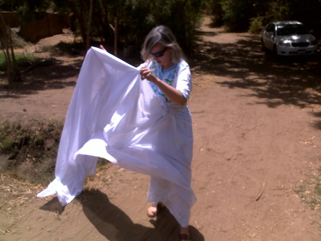
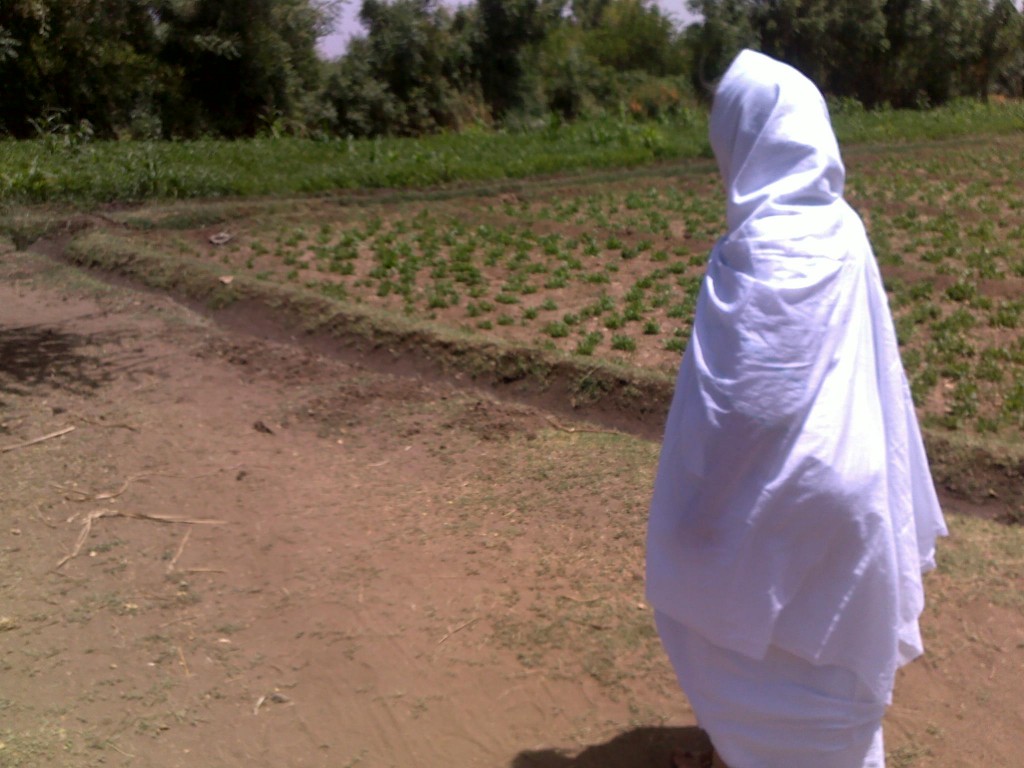
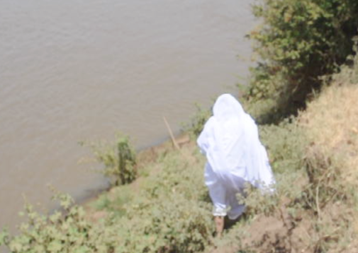
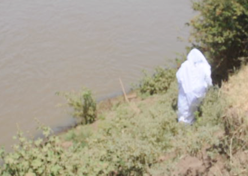
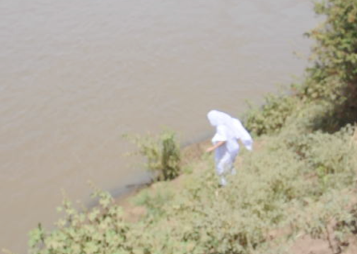
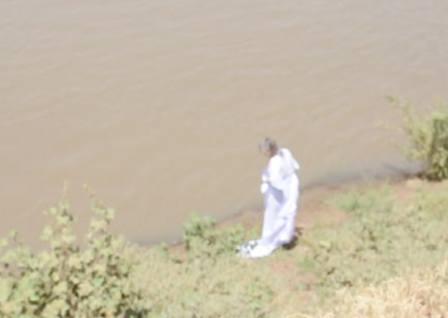
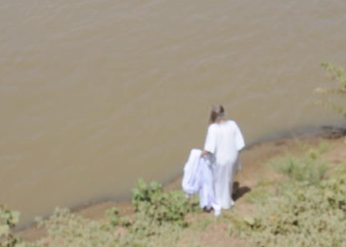
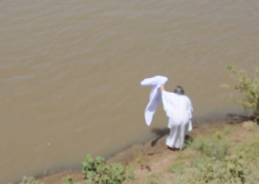
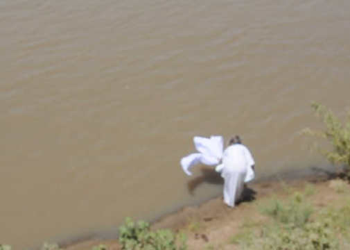
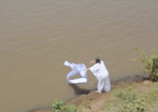
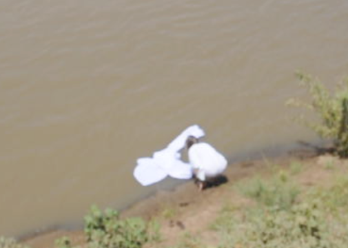
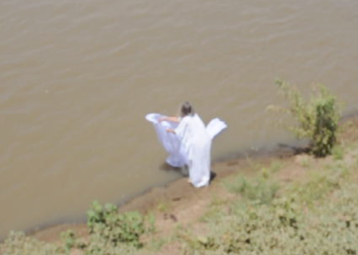
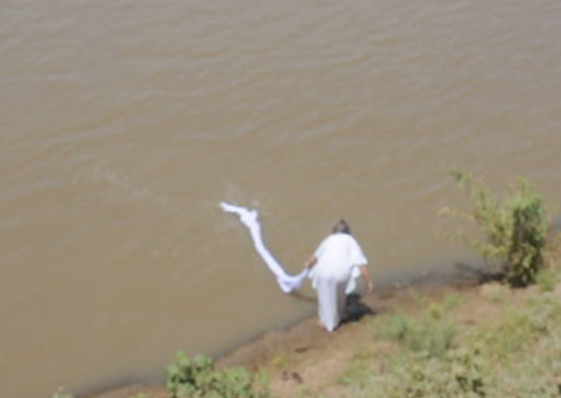
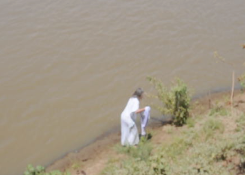
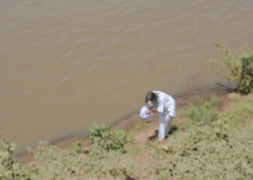
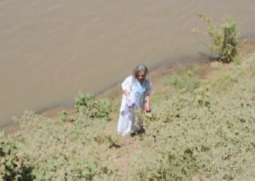
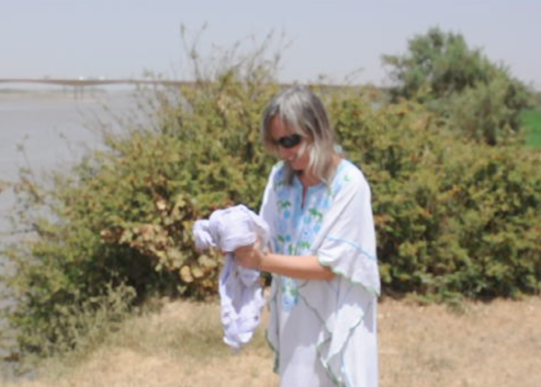
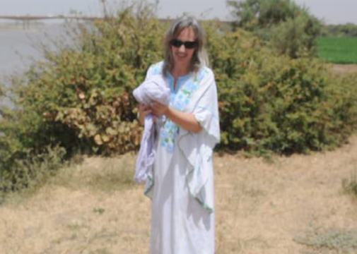
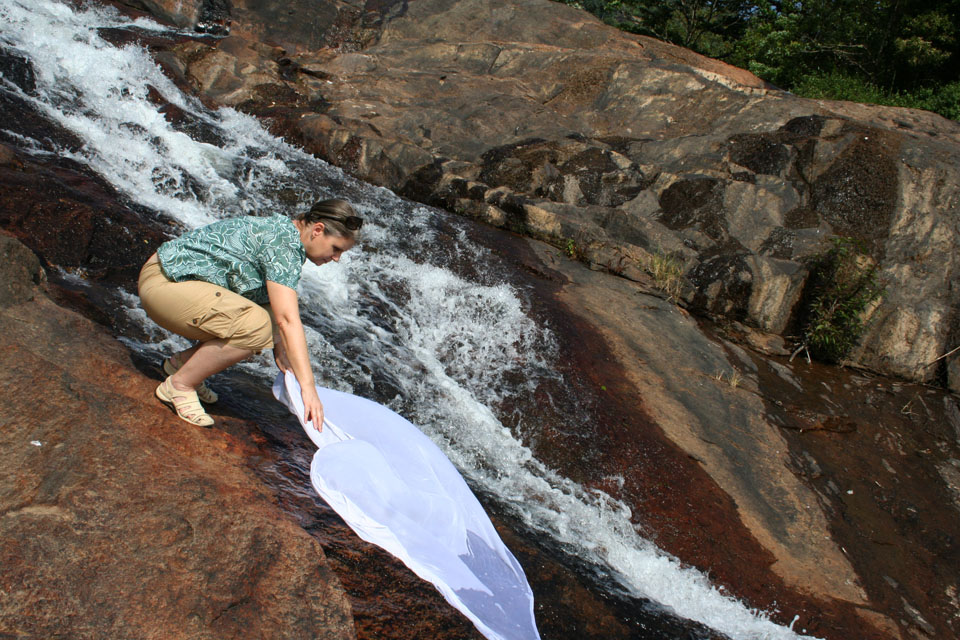
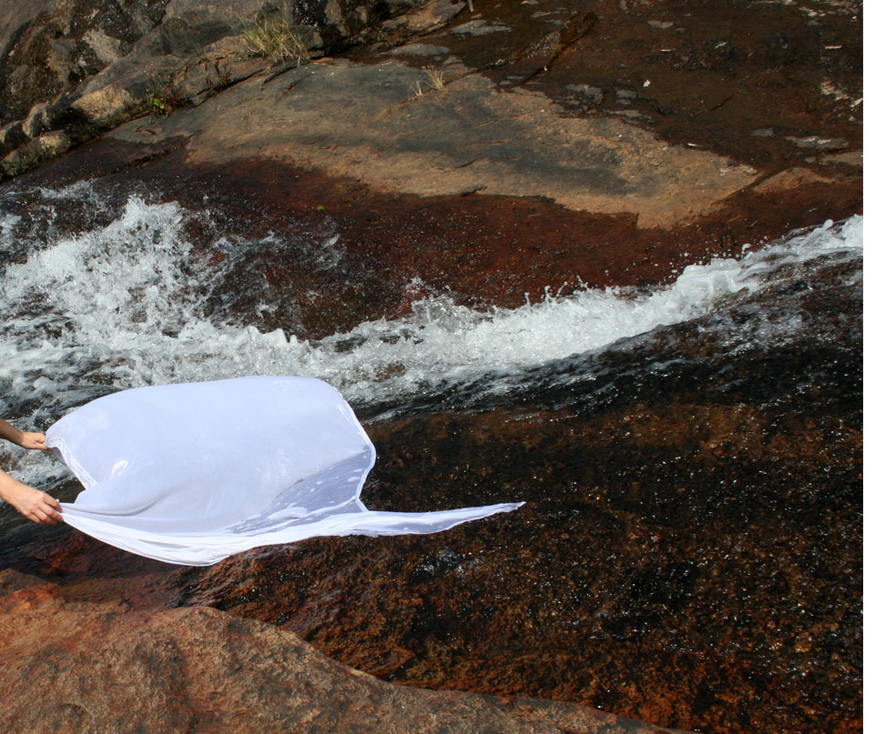
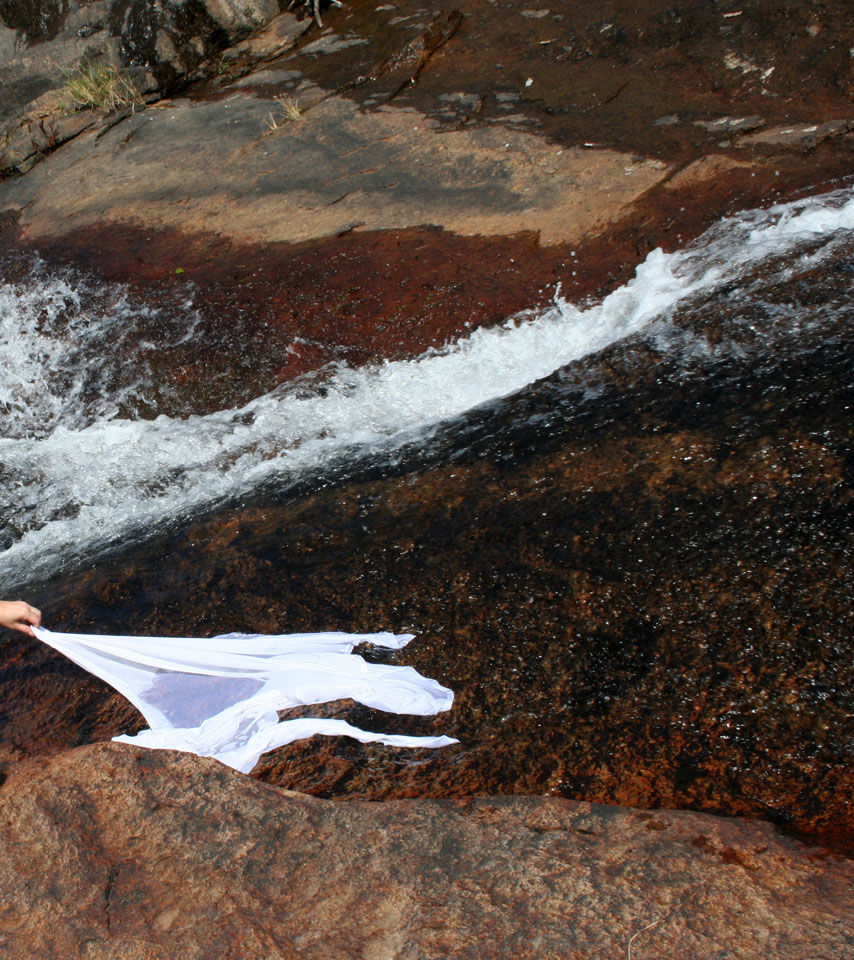
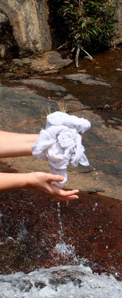
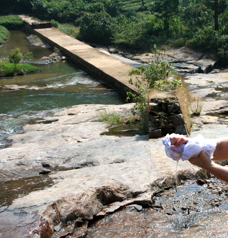
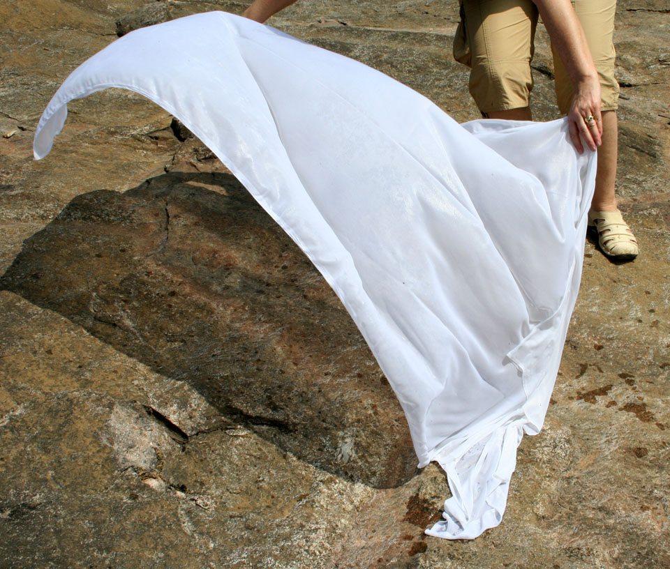
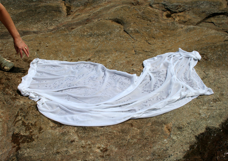
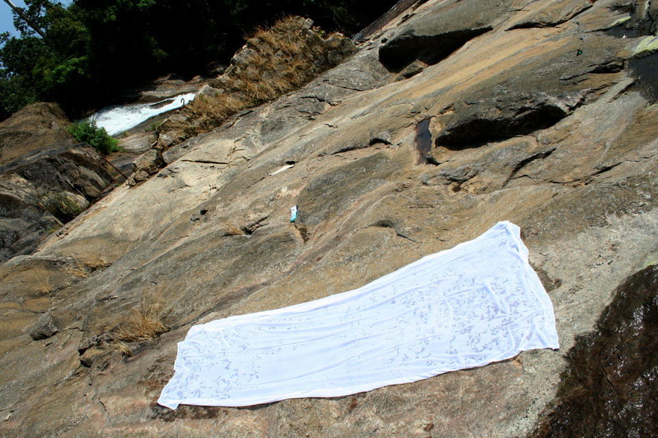
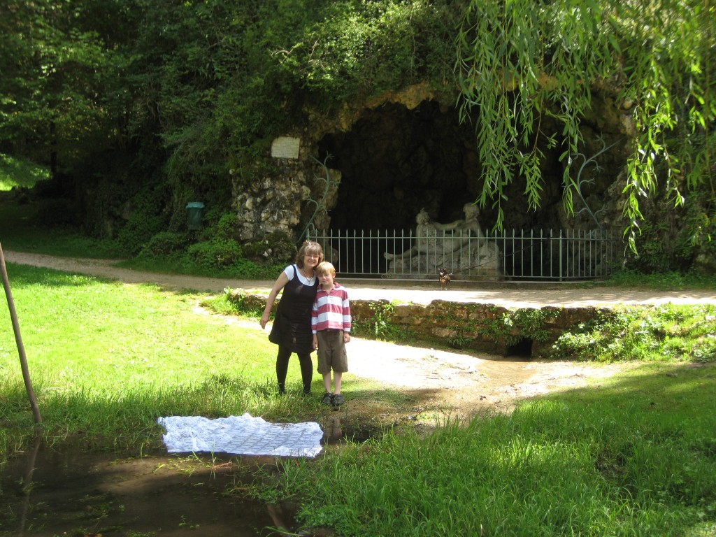
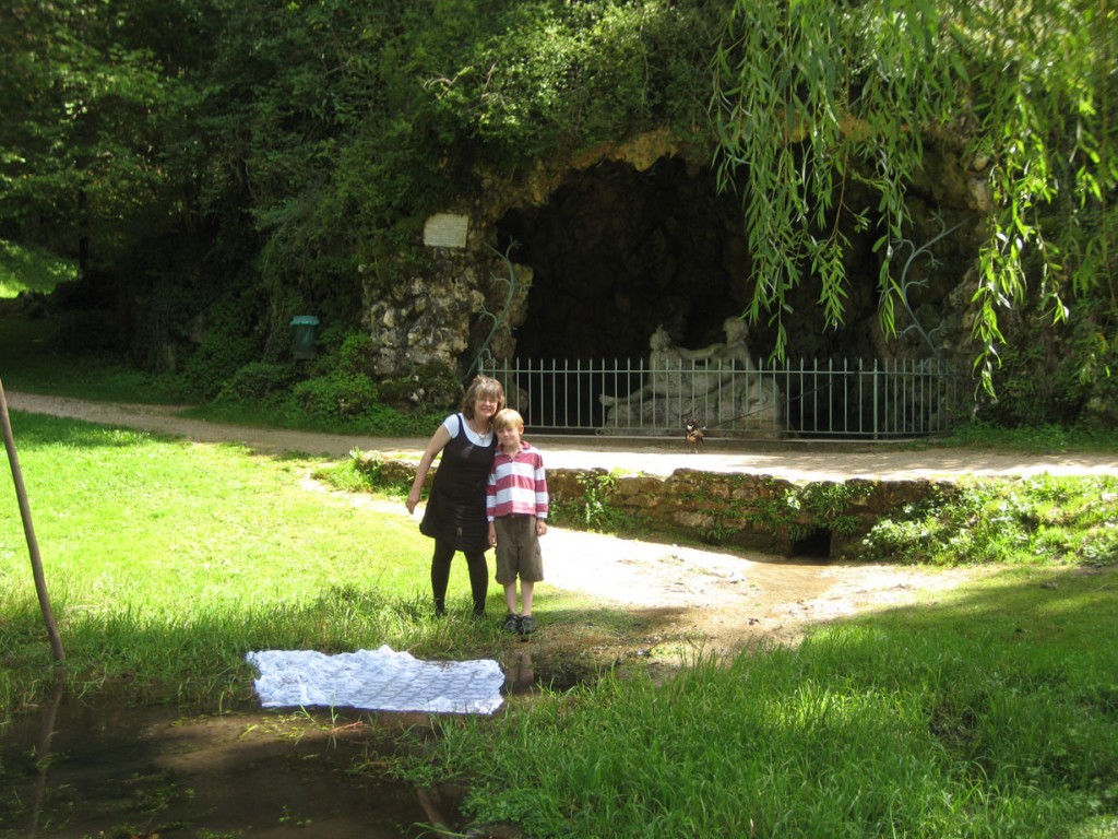
Now the sound of flowing water beckons, and, with white veil in hand, I approach the river carefully, as I step on smooth rocks that lead me down a wet slope. The casual ceremony for art’s sake soon begins. I find my stance and lean forward, unfurling the long cloth like a flag attached to my hands. Immediately, the veil balloons over the moving water then begins to settle down over it gradually—getting drenched, taken, then lifted meaningfully moments later, a symbol of yet another world river. I spread the cloth on a dry rock and watch it dry.
Photos and Abstract: Cynthia Kerby, Ignatius Aloysius