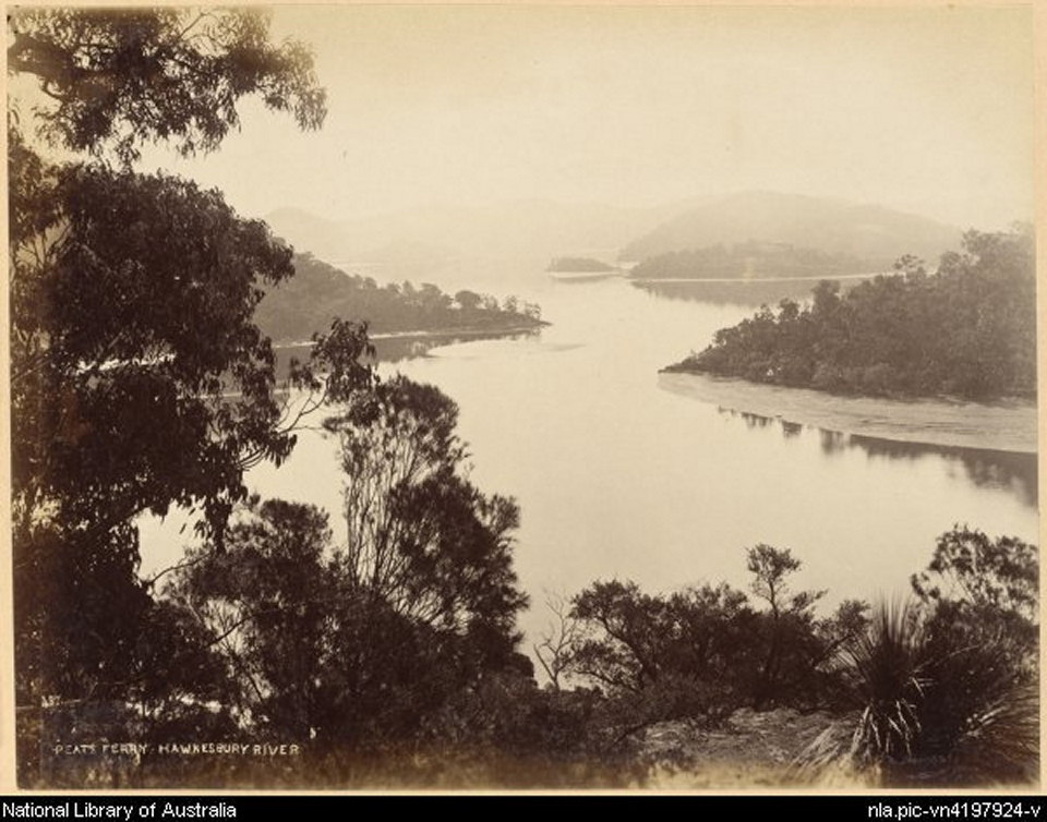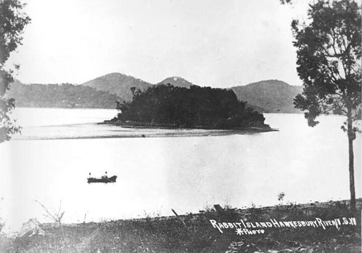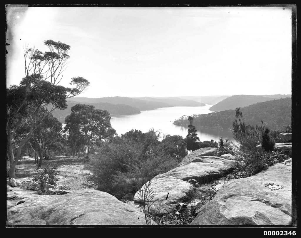
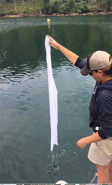
A part-time resident of Australia and full-time artist, Danielle Morse, dipped the cloth in the Hawkesbury River. The Hawkesbury River is located north of Sydney and is a waterway with seven islands and numerous bays.
 The area surrounding the Hawkesbury River is full of bushland and natural attractions once occupied by the Darkinjung, Darug, Eora and Kuringgai Aboriginal peoples. They used the river as a source of food and a place for trade. The Aboriginal name for the river was published as Deerubbun in 1870.
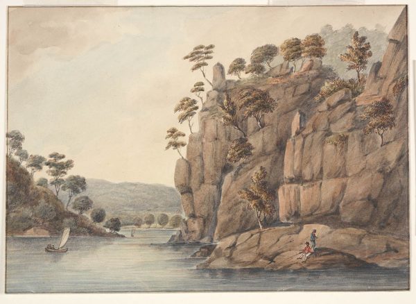
Print circa 1776
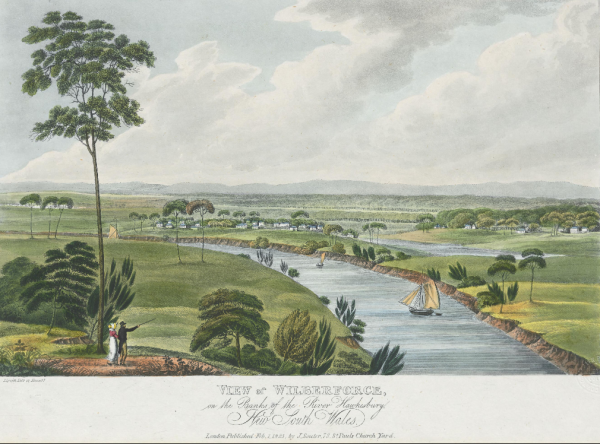
The Hawkesbury River was one of the major transportation routes for transporting farm produce from the surrounding area to Sydney during the 1800s. Having served as a major transport route in colonial times, the area now maintains a peaceful charm.
 Life on the Hawkesbury in the 1800s by Joseph Lycett (1775-1828)
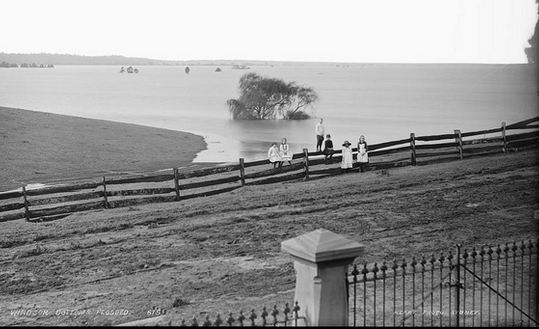
The Hawkesbury River has a long history of floods. Flood recordings begin in 1799, when Governor Phillip and his party first arrived in the district. Multiple destructive floods followed, but the worst was in 1867. This flood left nearly 1000 residents destitute and swept away much of the livestock and agricultural district.
Although this river is prone to flooding, the risk hasn’t scared people away from viewing its magical presence.
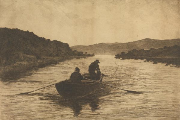
1888 print by Livingston Hopkins
The Hawkesbury River was named by Governor Phillip in June 1789, after Charles Jenkinson, 1st Earl of Liverpool, who at that time was titled Baron Hawkesbury.
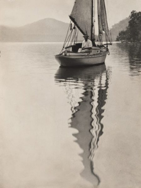
1909 George Malteby on yacht, Hawkesbury River by Norman C. Deck
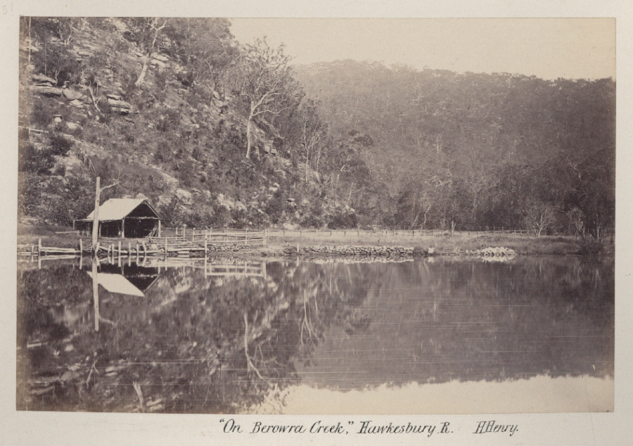
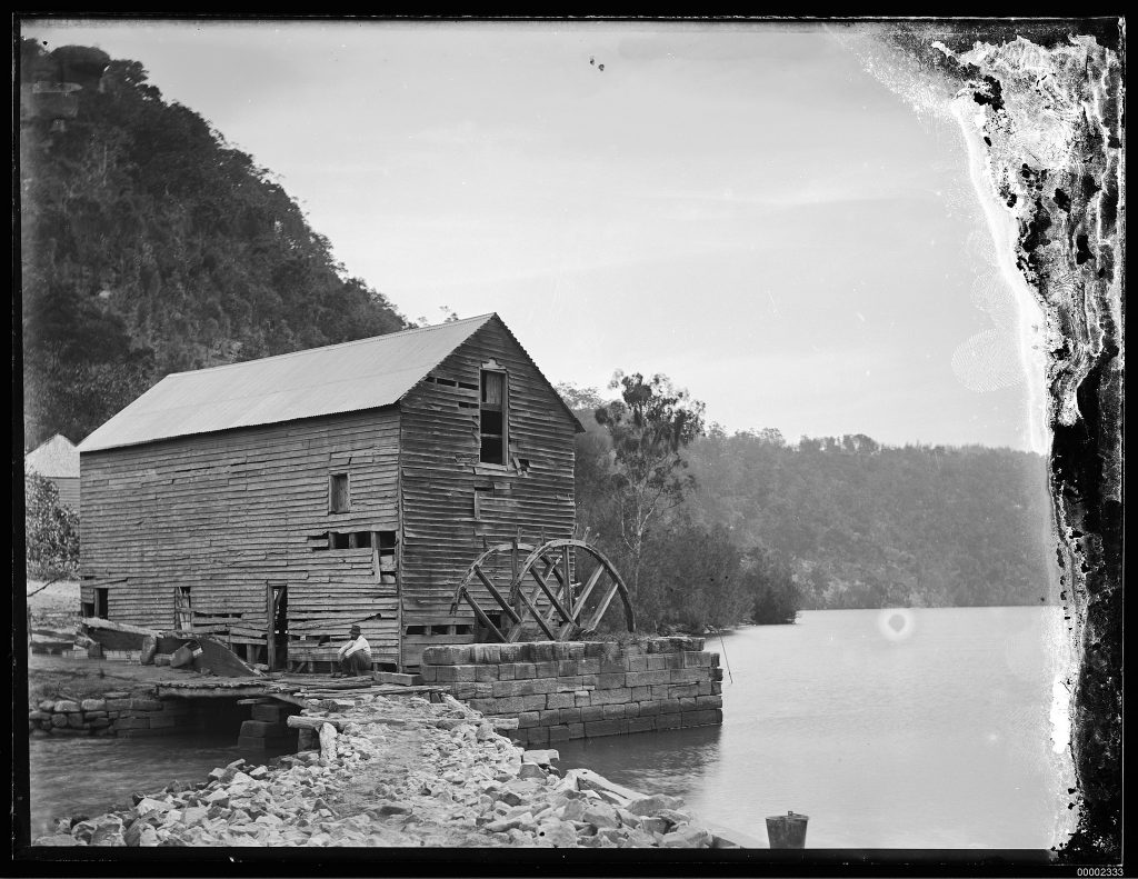
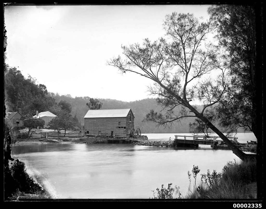
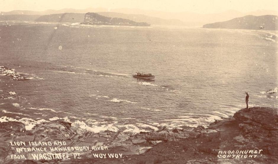
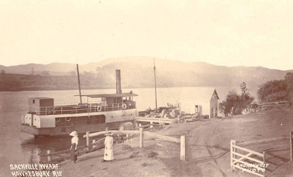
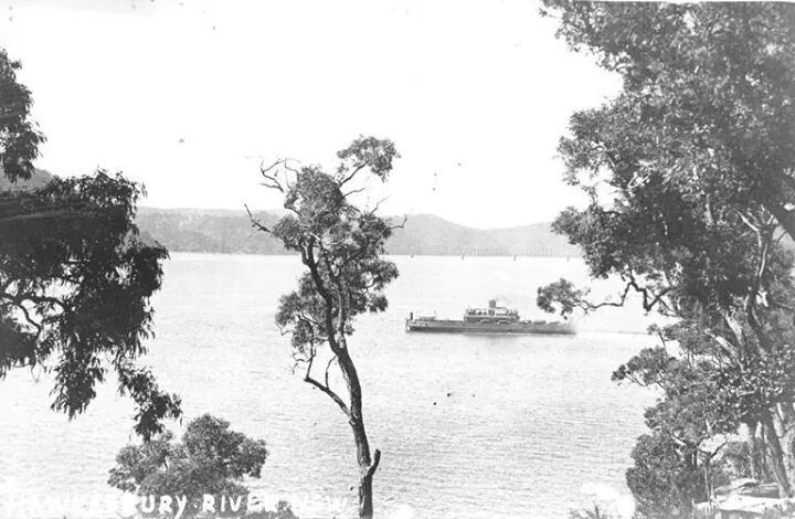
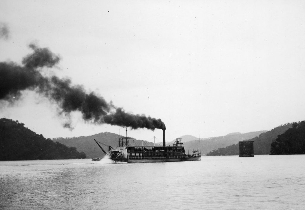
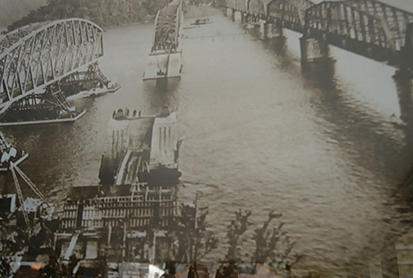
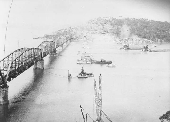
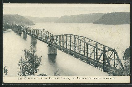
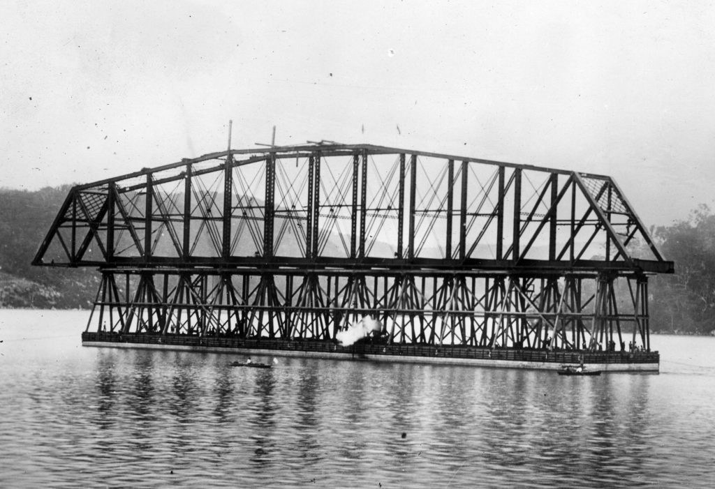
Vintage photos span 1806 to early 1900s and the river flood, Peats Ferry, Berowra Creek, and Singleton Mill. Steamships and the railway changed the landscape.