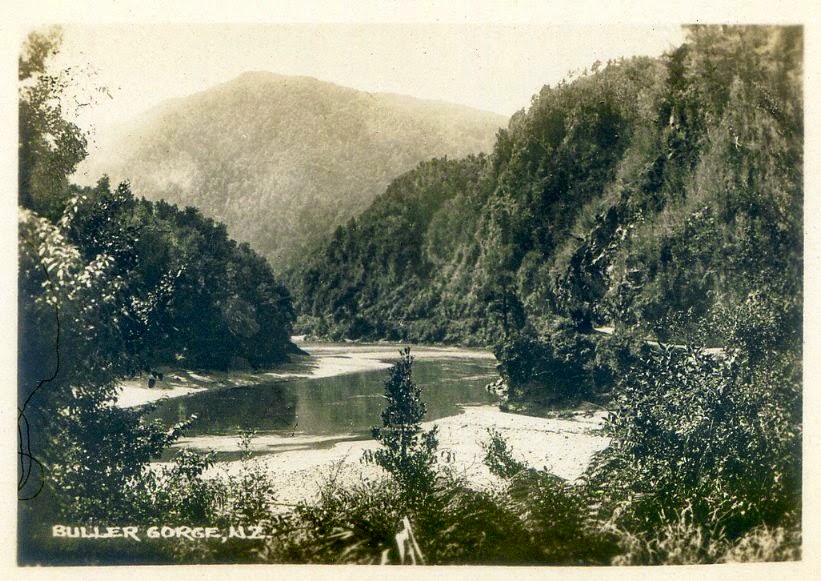
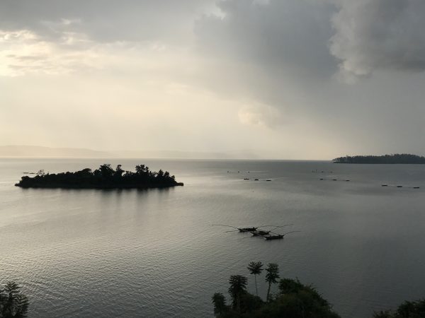
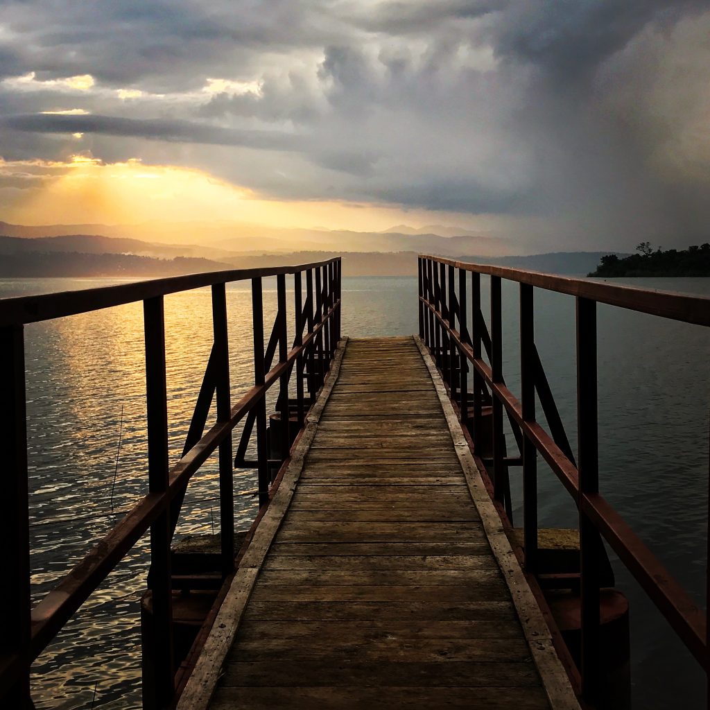
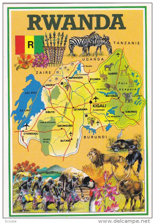
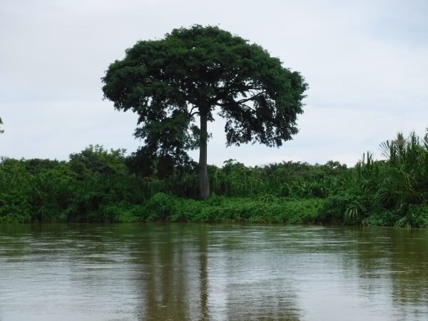
 The Nyabarongo River is Rwanda’s largest river and is part of the upper headwaters of the Nile. The Nyabarongo River stretches 184 miles, making it the longest river solely in Rwanda. Rosemary Ferreri visited Kigali City and captured the beauty of a country striving to heal and struggling to rebuild.


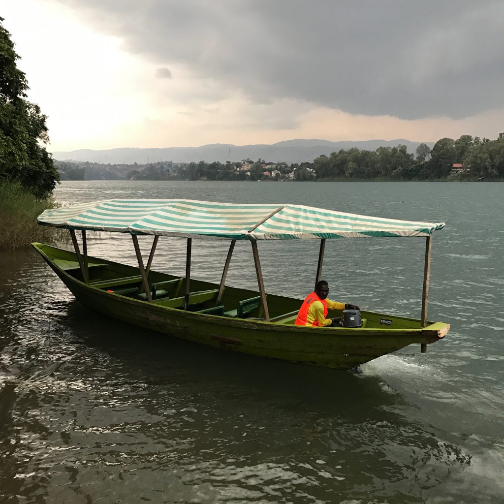
The river gathers much of its headwater from the forested mountain country, nearly 9,000 feet above sea level, emptying into the Mwogo River and merging with the Mbirurume River. The Nyabarongo river begins at the confluence of the Mbirurume and Mwogo rivers, which are considered to be the furthest source of the Nile, mainly flowing eastward creating a boundary between the Northern and southern Provinces.
It is said that the Hutu people originated from Chad and that the Tutsi people came from Ethiopia and lived peacefully together, in marriage and work, as Rwandans.
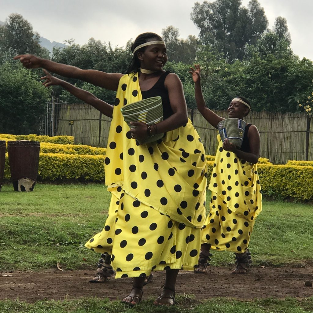
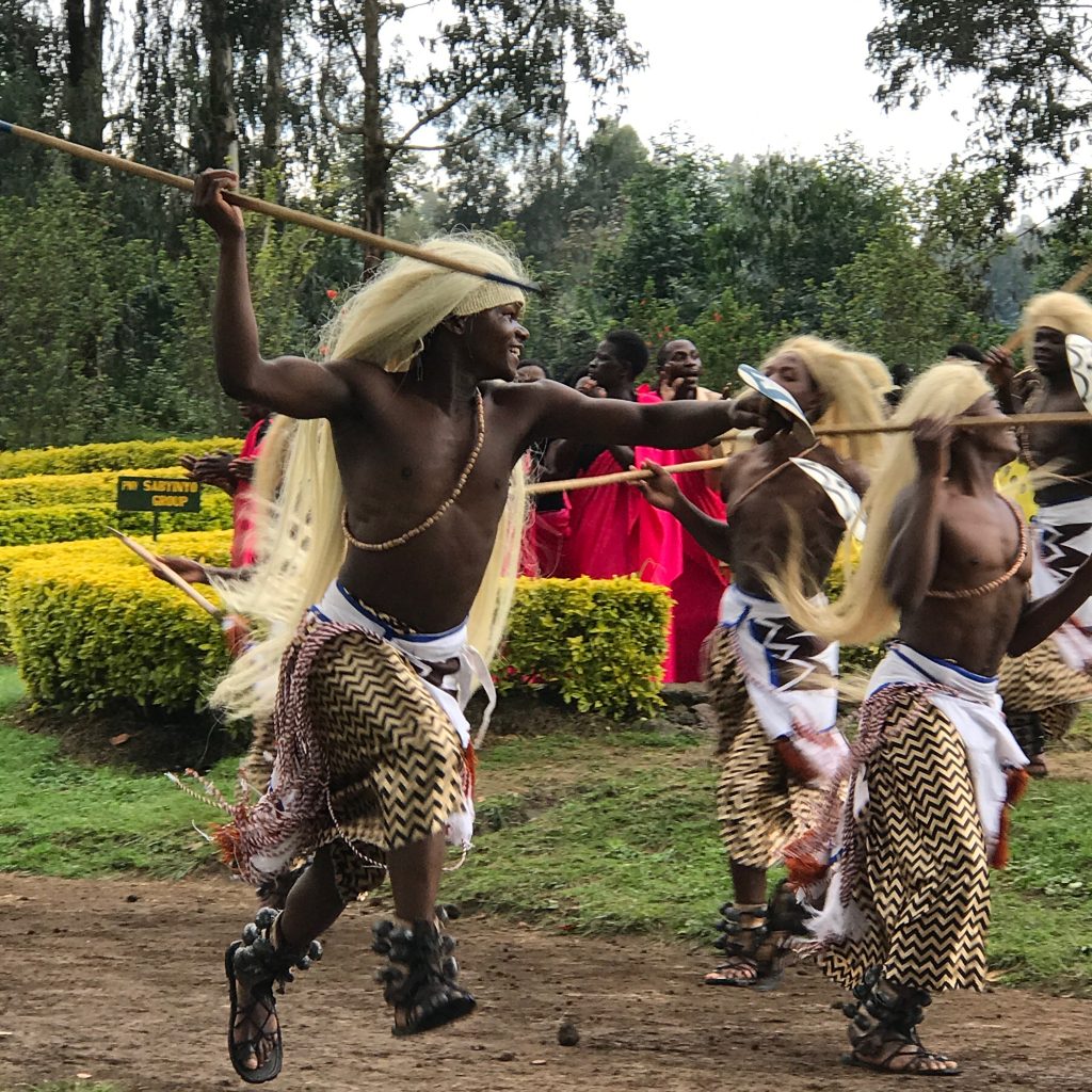
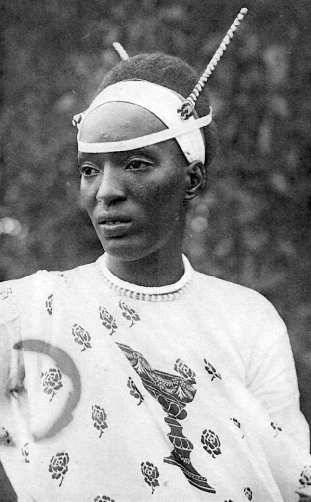
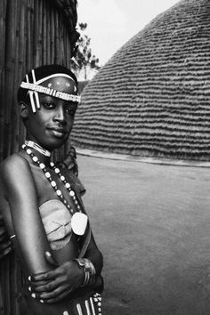
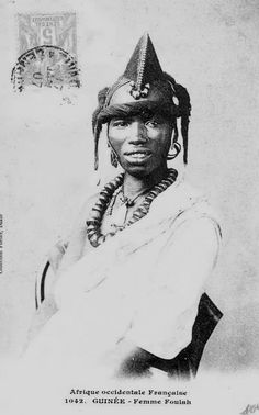
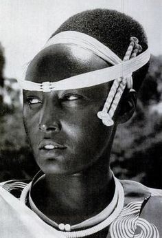
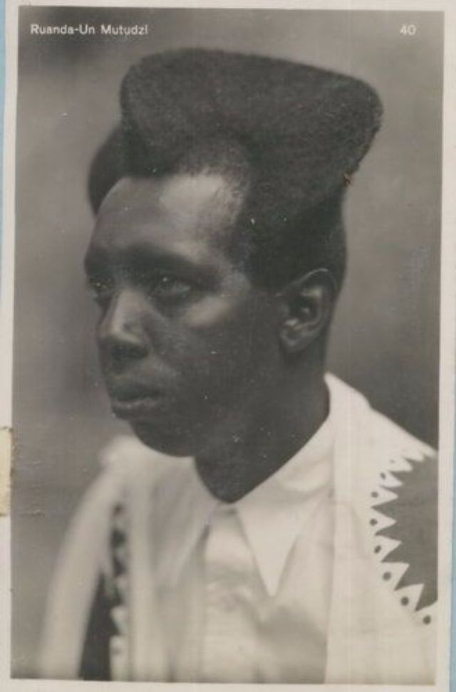
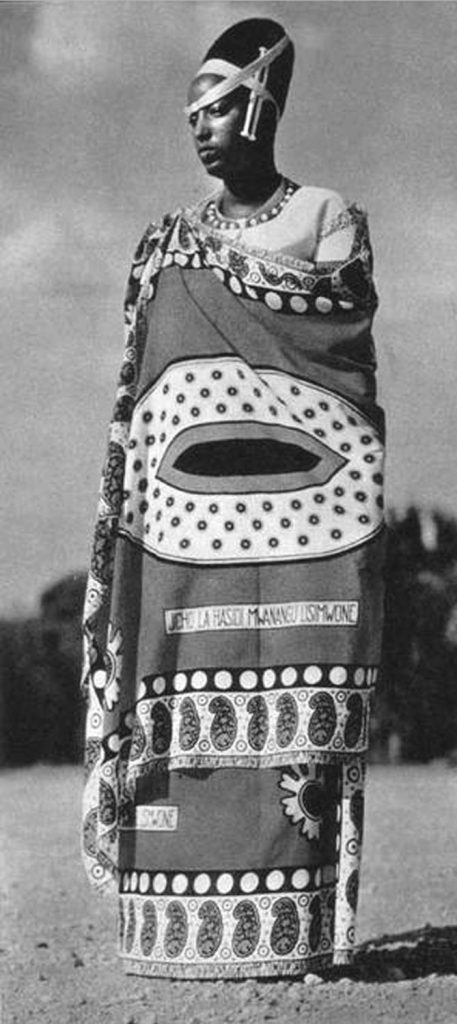
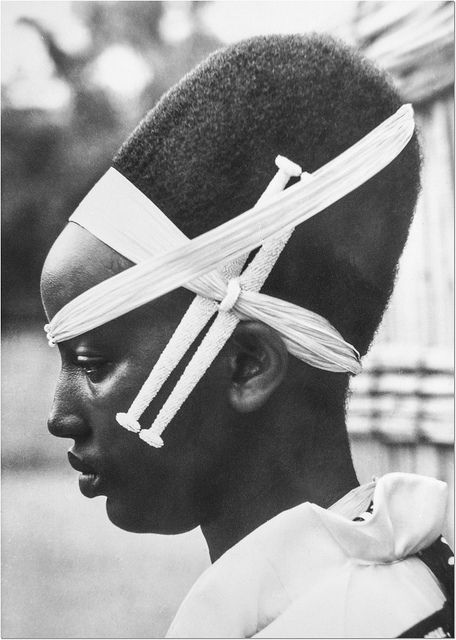
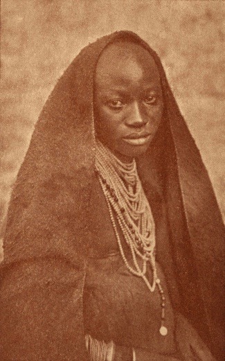
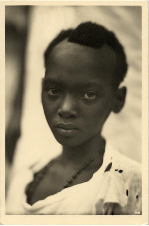
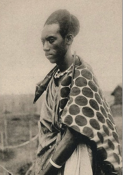
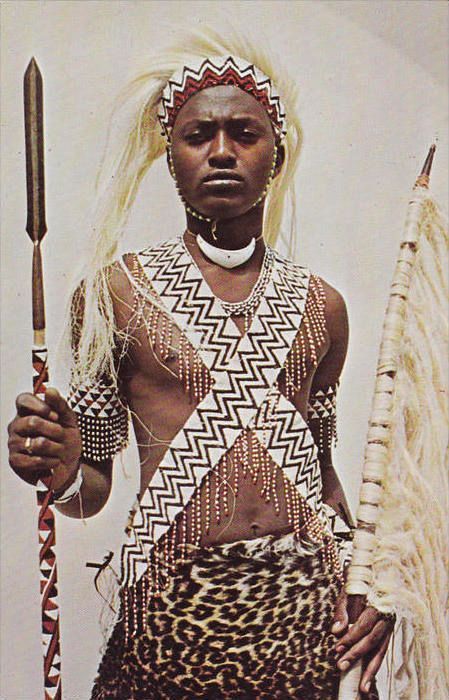
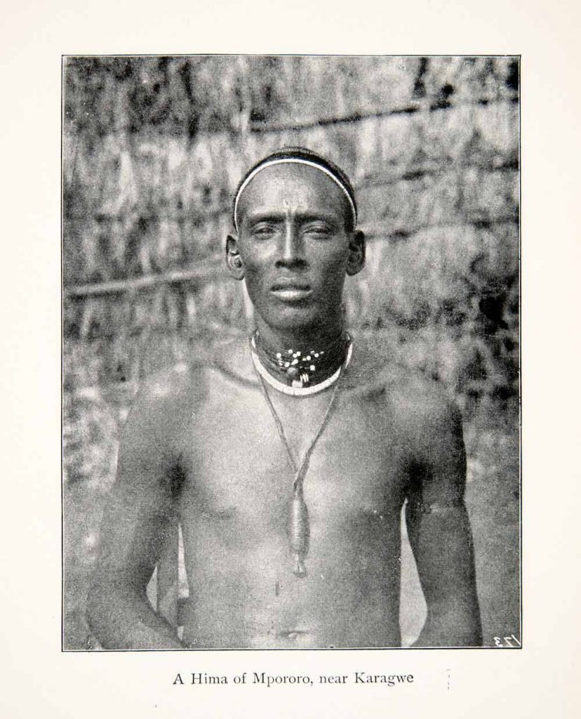
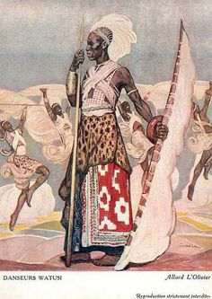
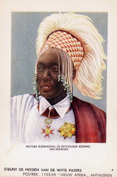
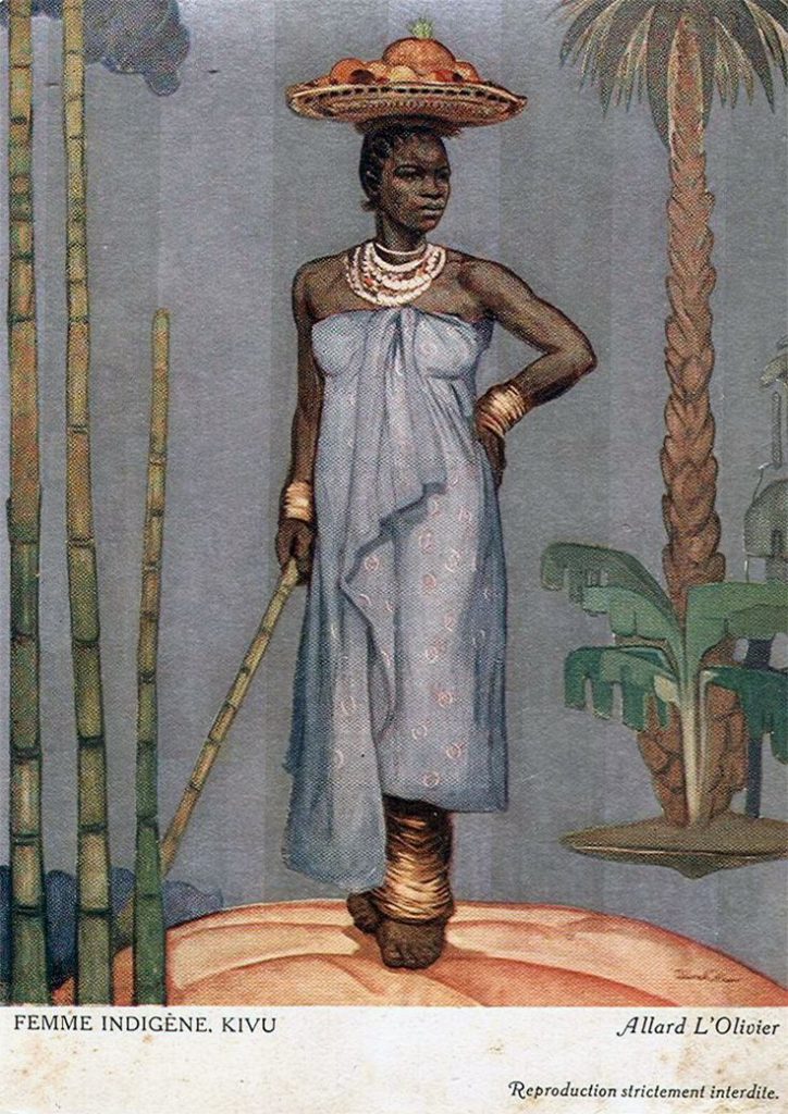
Rwandans have unique African hairstyles and adornment, based in a royal history and powerfulwarrior dress.


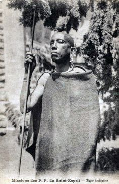
TRAGIC HISTORY The Hutu and Tutsi tribes distinguished by their occupations rather than ethnicities. The Tutsi mostly owned cattle and the Hutu were farmers. Often cattle was used as currency which eventually created an imbalance of wealth and class.
When the Germans colonized this region in 1894, but after losing WWII they had to surrender all of their colonies. Belgium took control of the Rwanda and implemented passbooks that identified the Hutu majority and the Tutsi minority. The Belgians favored the Tutsi, giving them leadership positions in government, which created a deeper ethnic divide and inequality of power. The Hutus were angered by this. Belgium sensed a struggle and then displaced the Tutsis to pass control over to the Hutus.
1961 Rwanda became a republic, during the Rwandan Revolution. When the strategic murder of the Rwandan president, happened on April 6, 1994, the planned and highly organized killing of the Tutsis began.
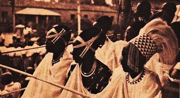
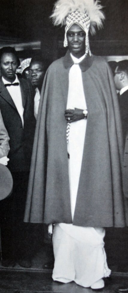
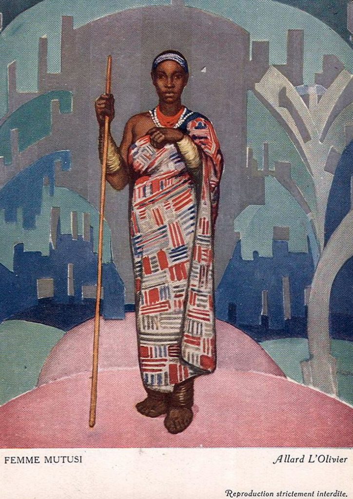
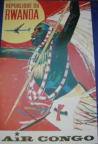
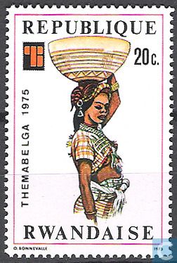
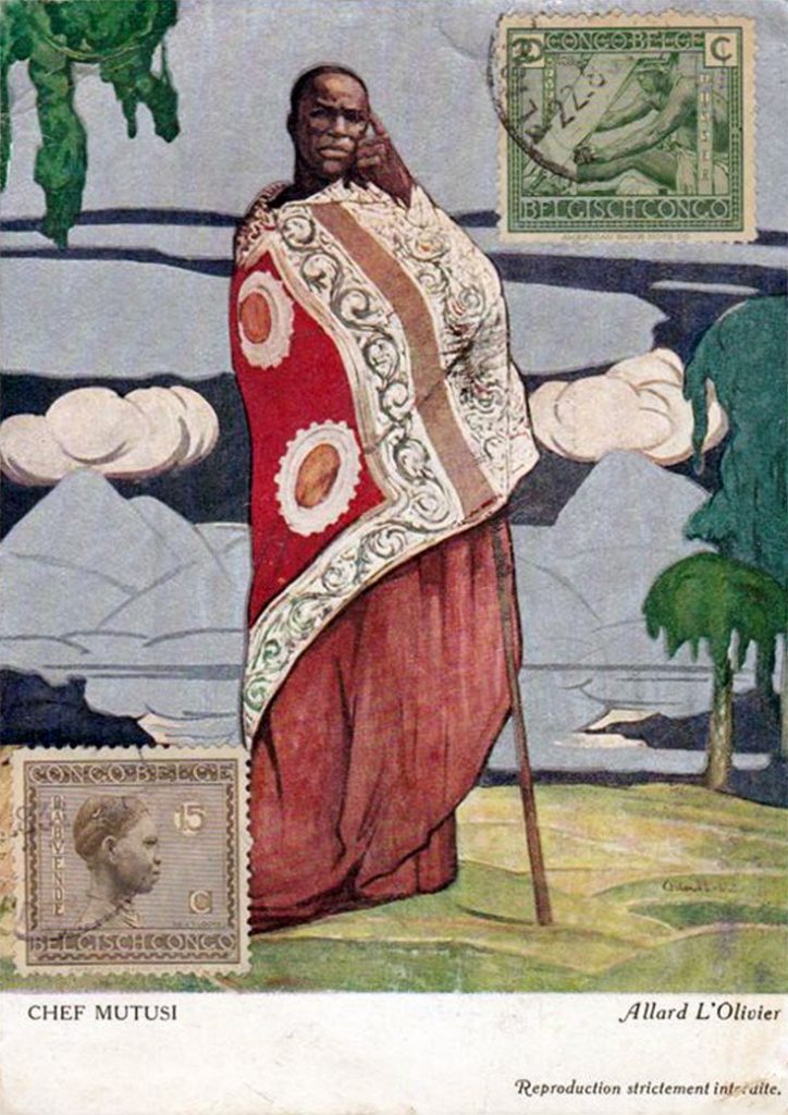
Indigenous art found on stamps, postcards, and travel posters promote Rwanda’s beauty, culture, and royal ancestry.


Headline of interest: UAE’s Metito seals $75m Rwanda water project contract


 The
The 


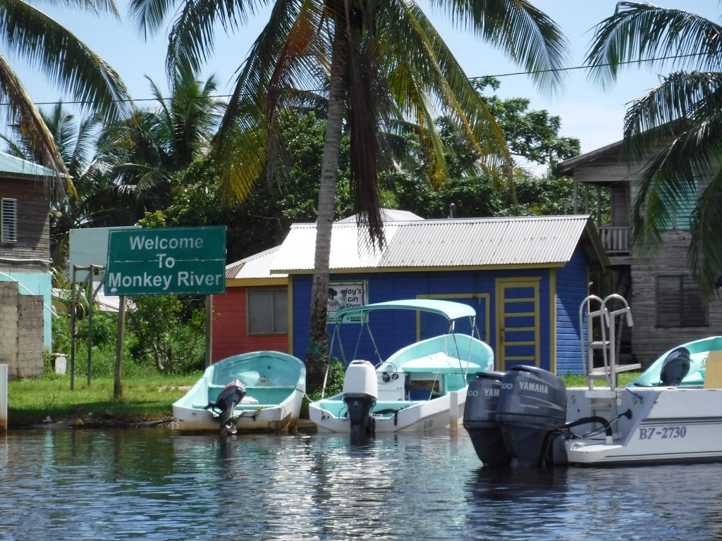
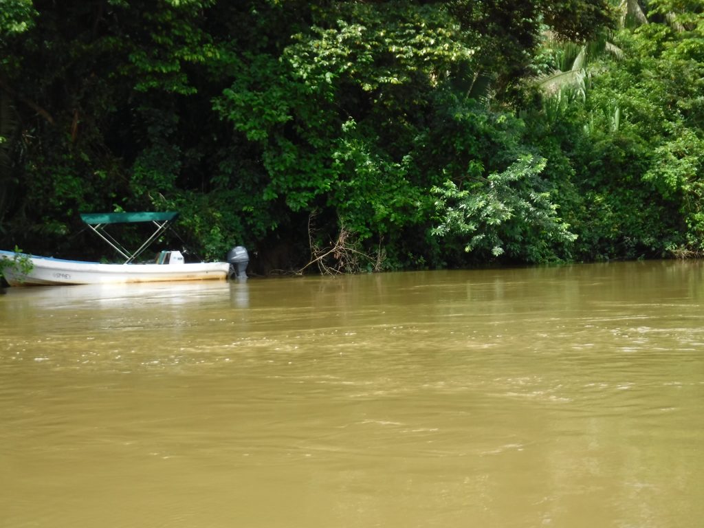
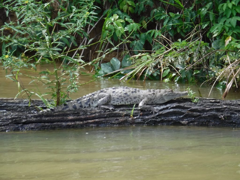
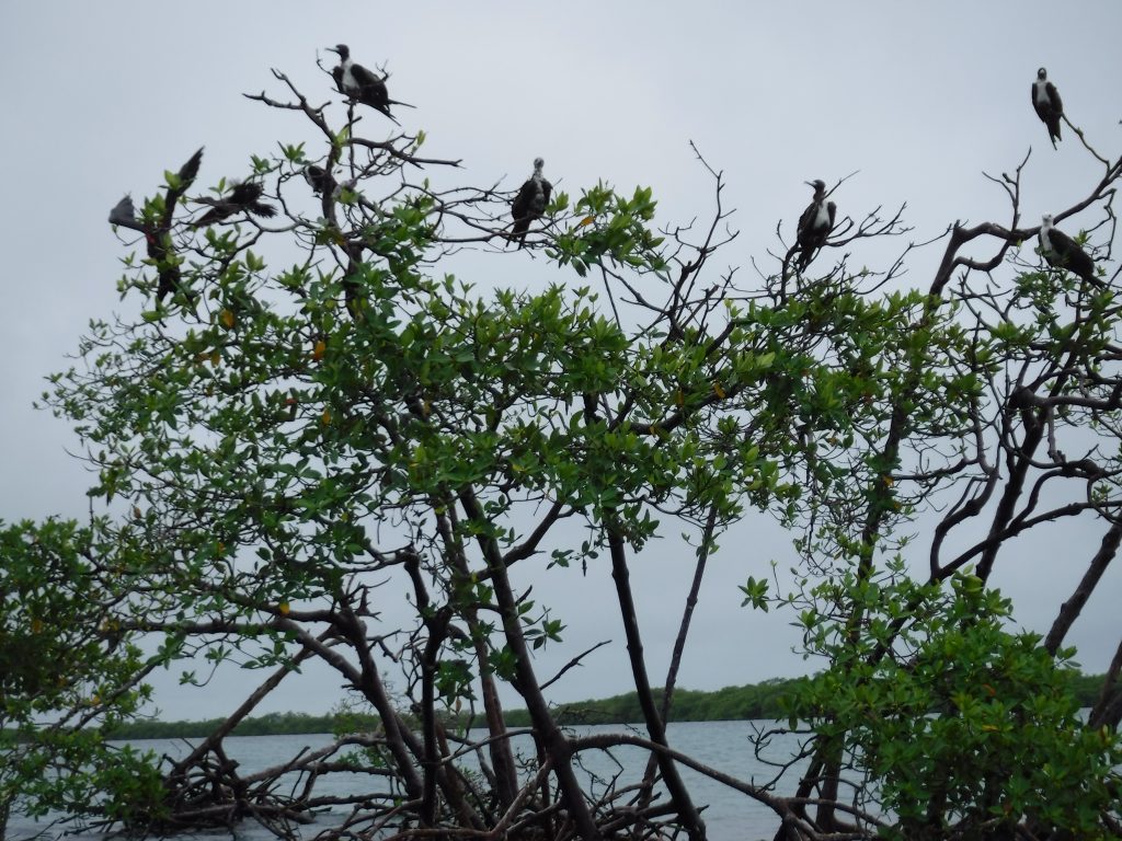
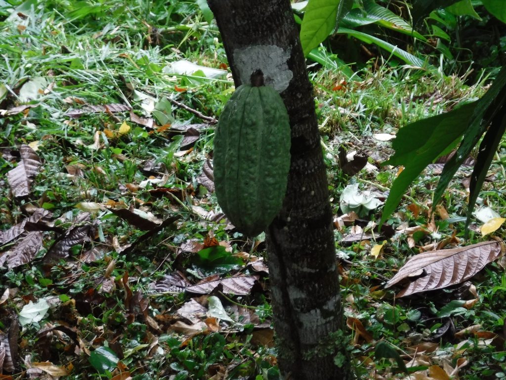
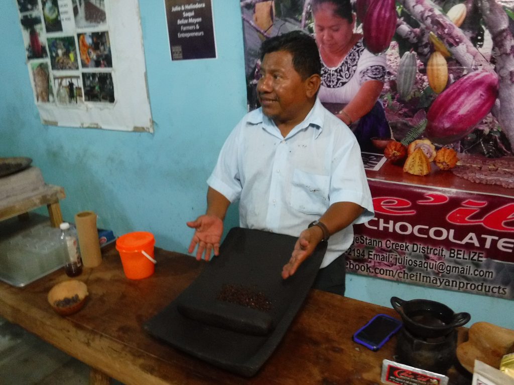
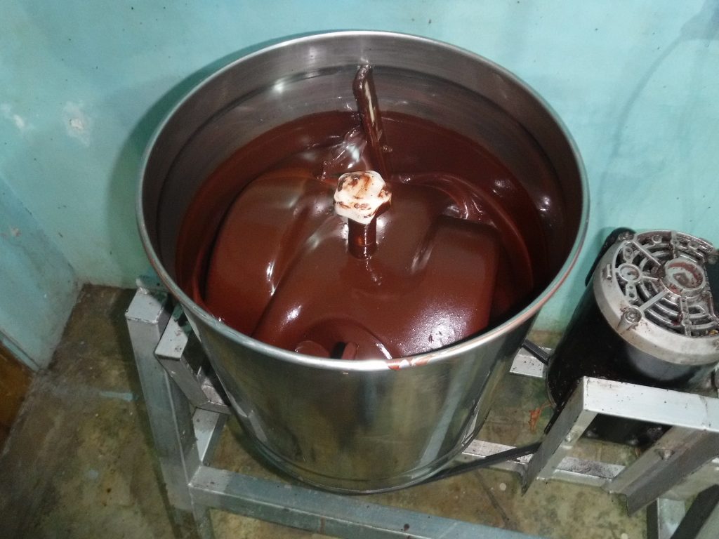
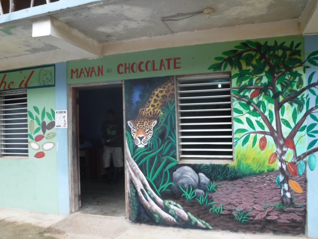
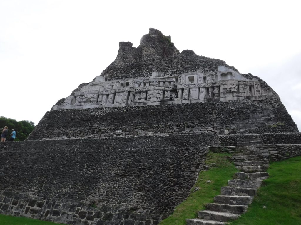
 Monkey River Town is the northernmost village in the Toledo District. The village is one of the last purely Creole settlements in Belize. The village was incorporated as a town in 1891 at which time it had a population of some 2500 people, mostly engaged in the lumber (mahogany)and banana industry. A road was built in the late 20th century from the Southern Highway through orange groves and jungle to the village, linking the village to the outside world, although much travel is still by sea.
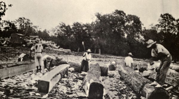


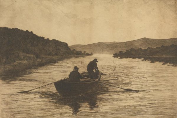
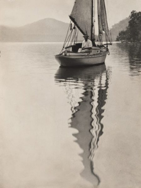
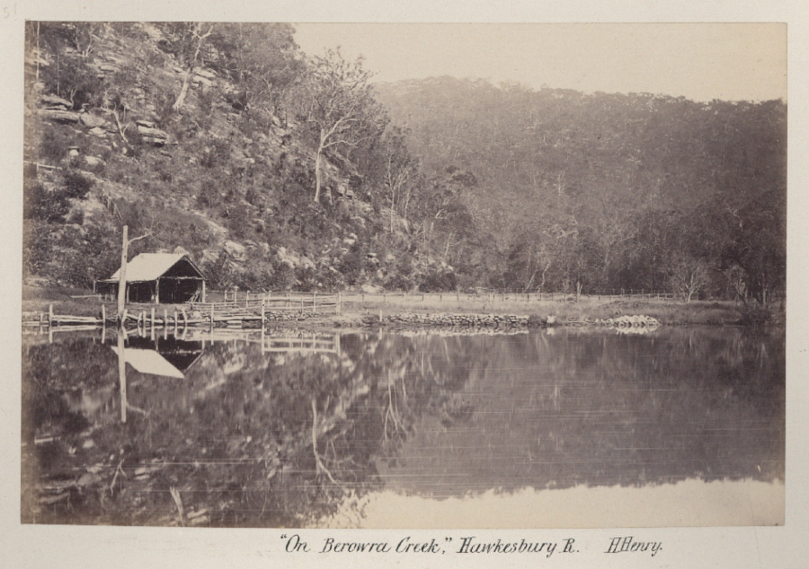
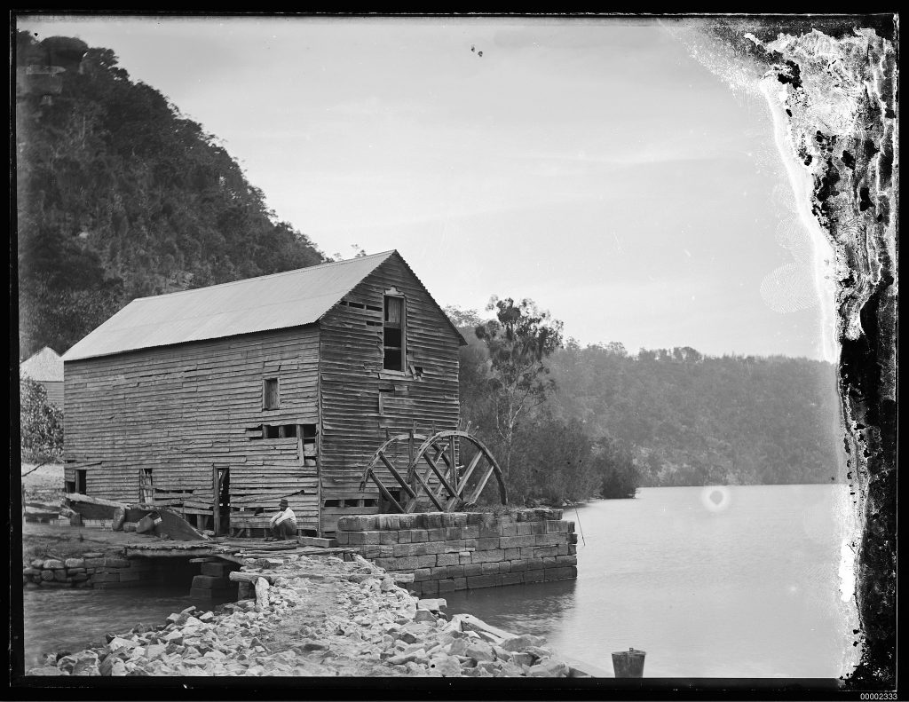
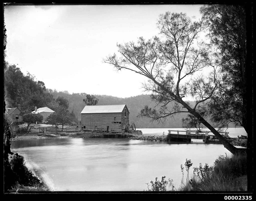
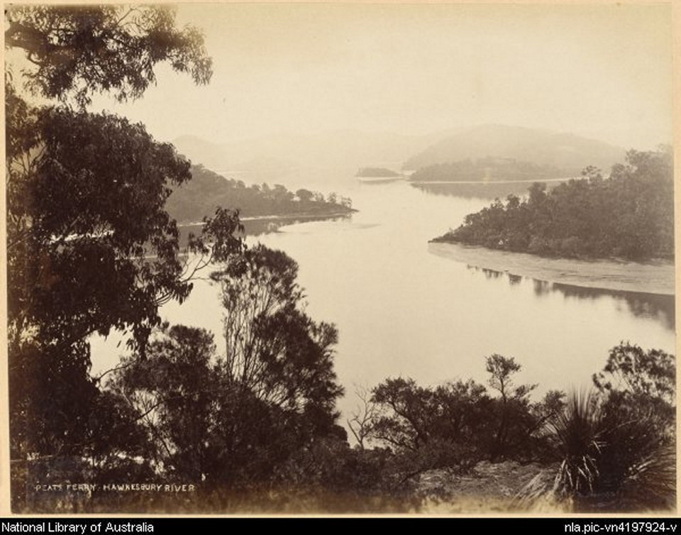
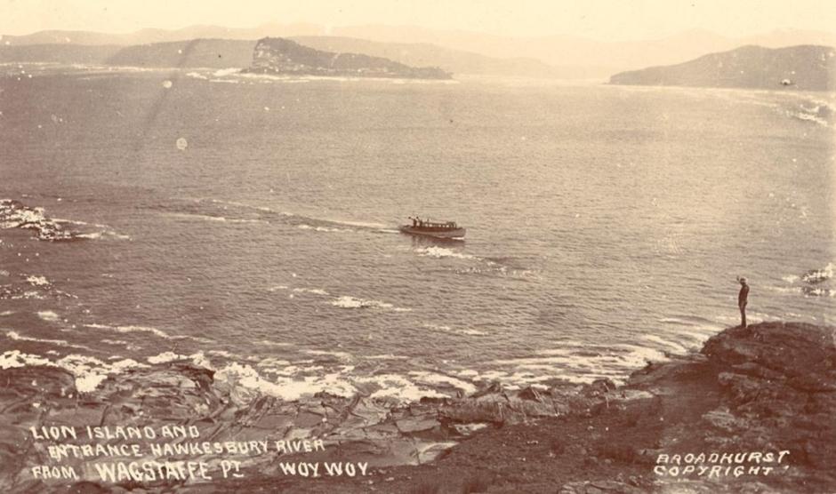
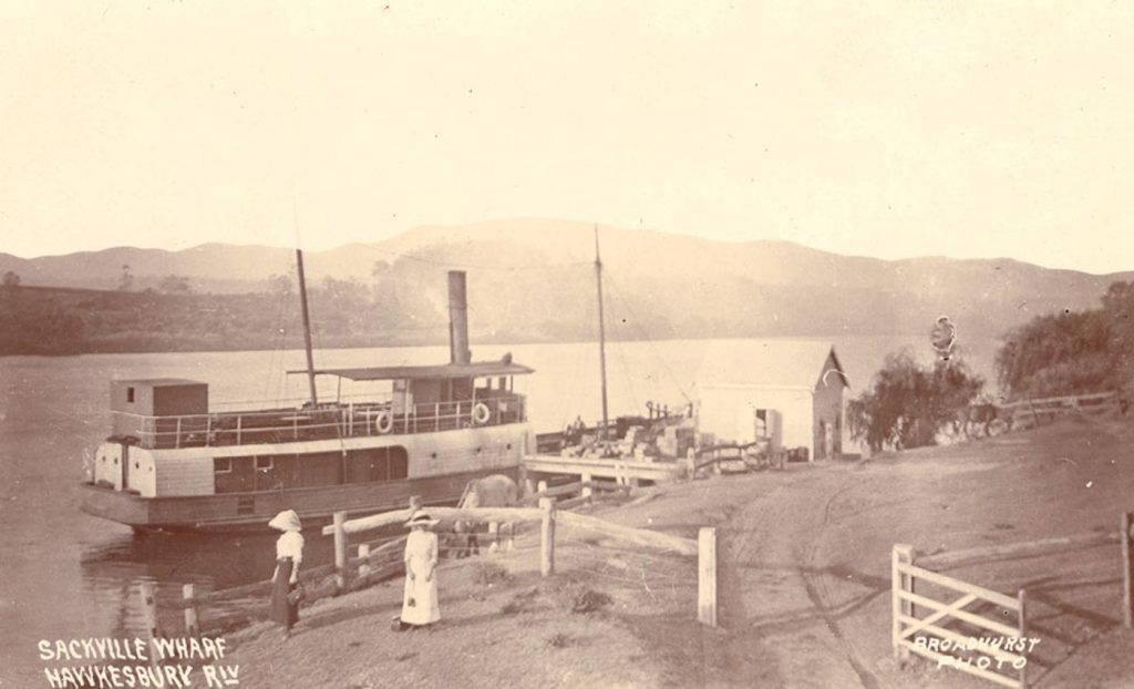
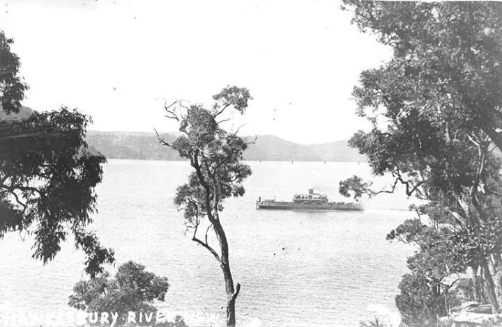
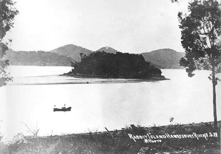
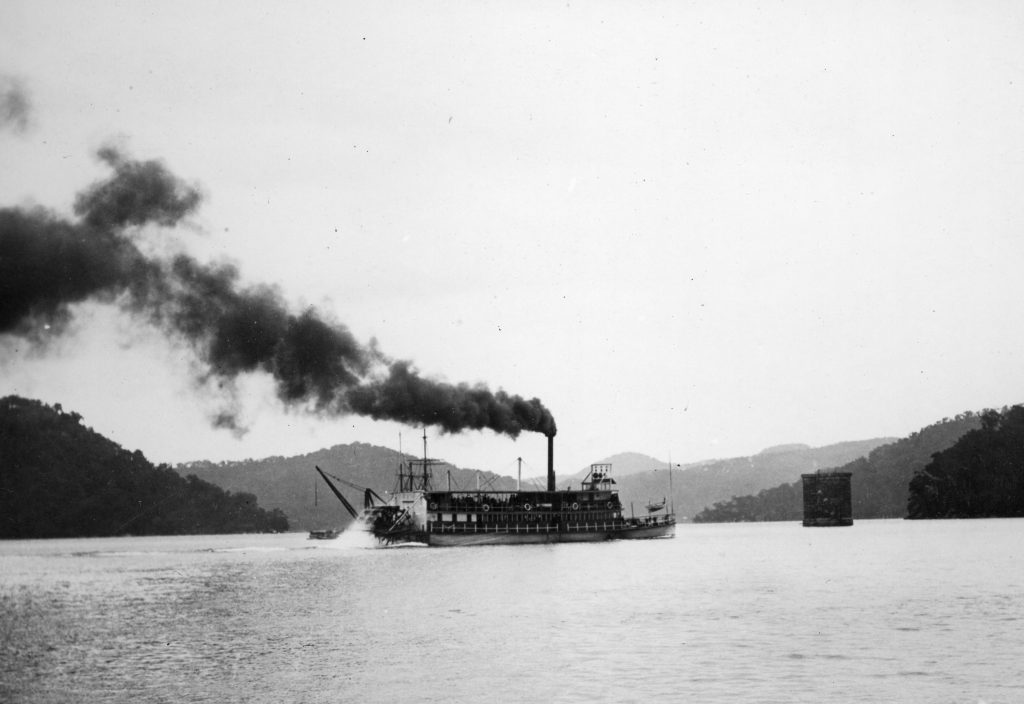
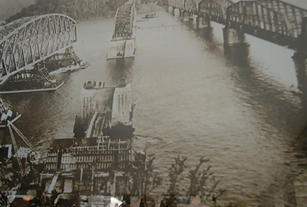
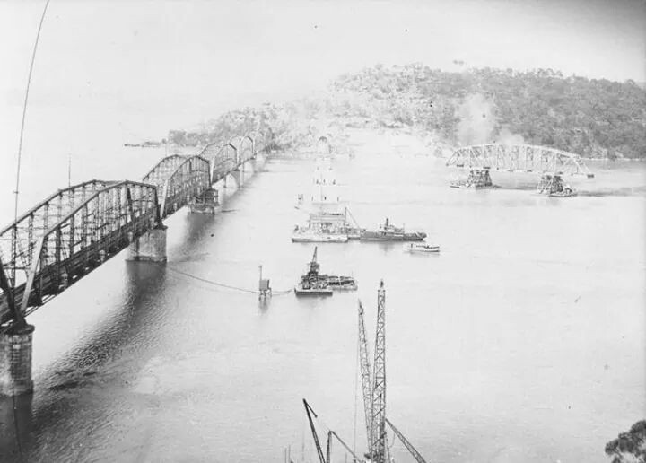
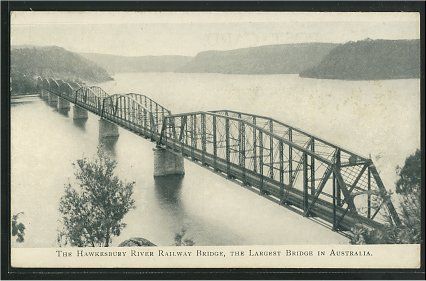
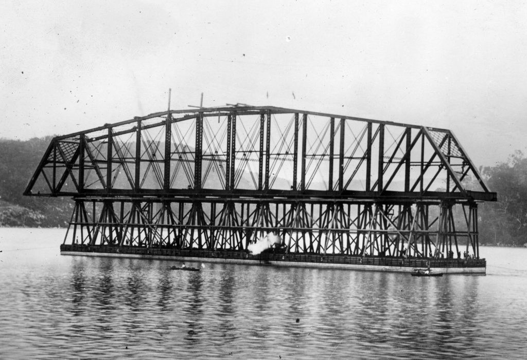
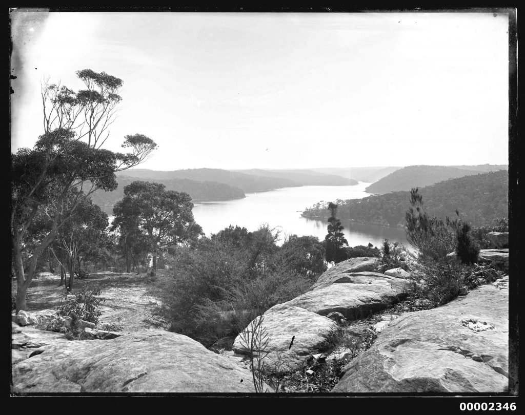
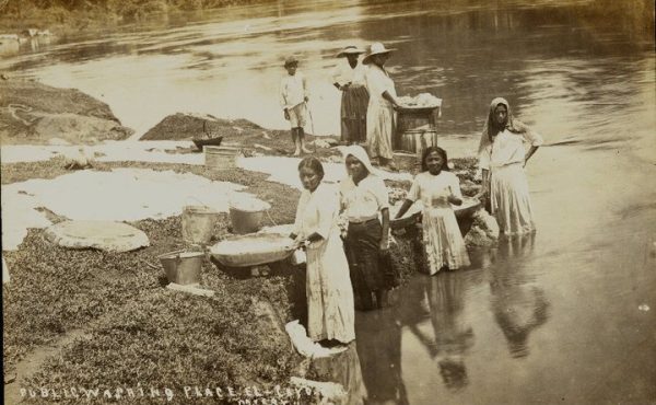
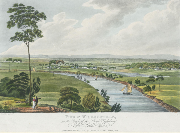
 The area surrounding the Hawkesbury River is full of bushland and natural attractions once occupied by the Darkinjung, Darug, Eora and Kuringgai Aboriginal peoples. They used the river as a source of food and a place for trade. The Aboriginal name for the river was published as Deerubbun in 1870.
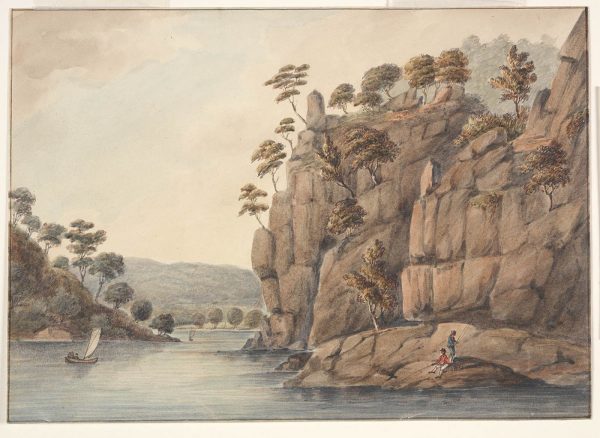
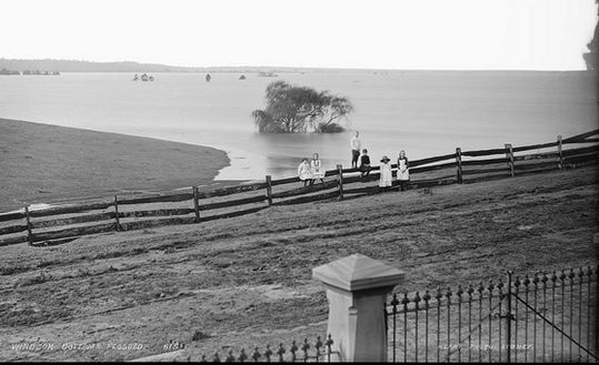
 Life on the Hawkesbury in the 1800s by Joseph Lycett (1775-1828)