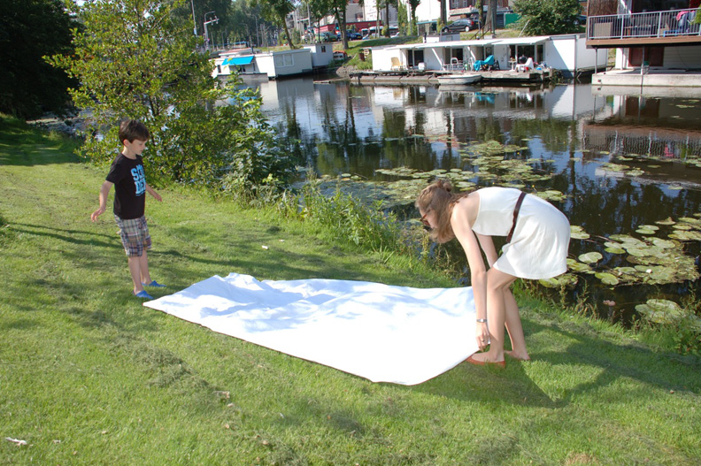
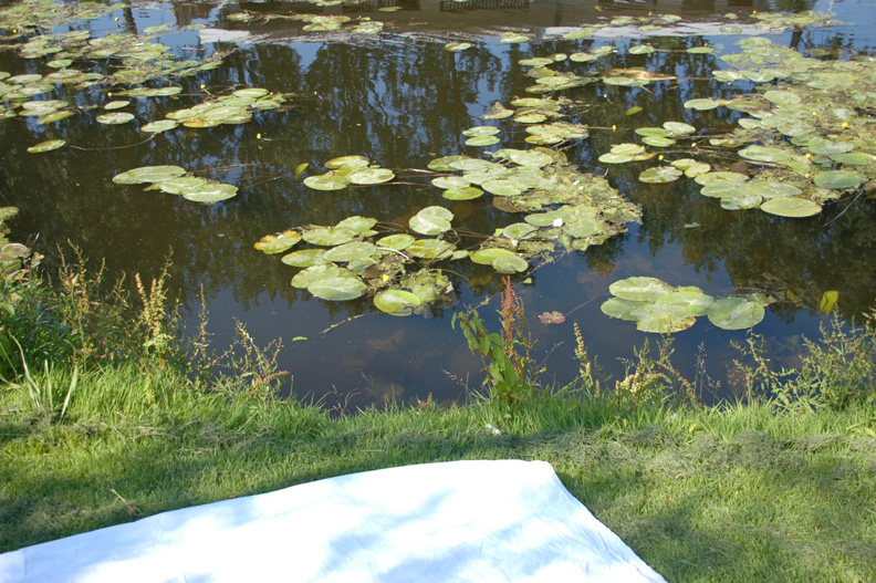
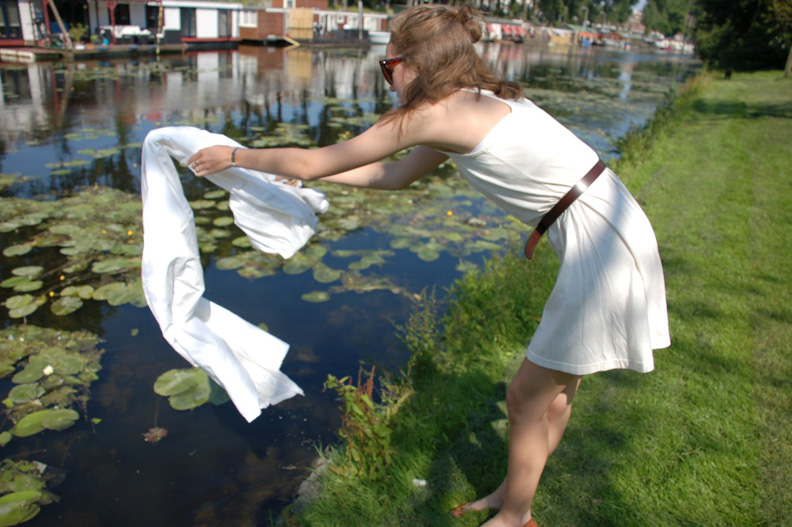
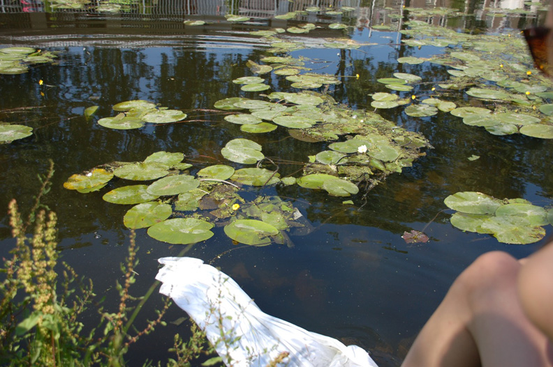
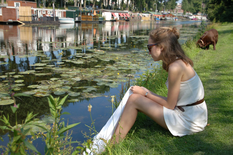
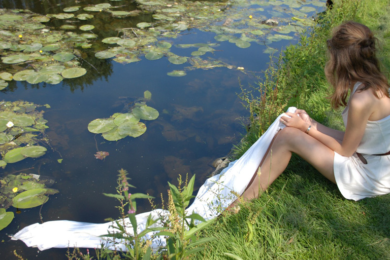
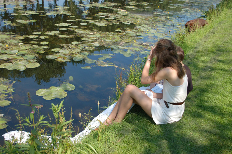
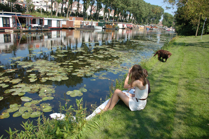
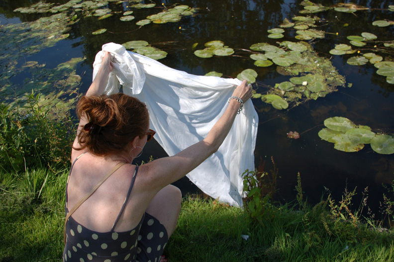
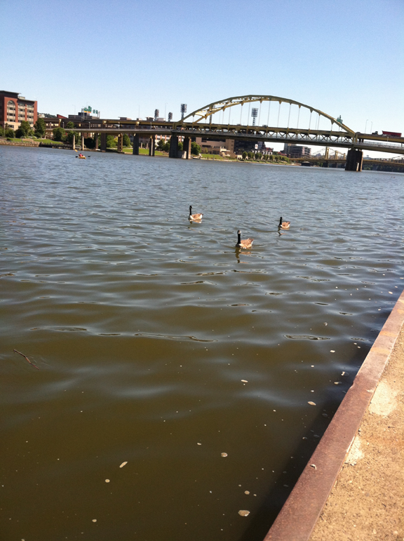
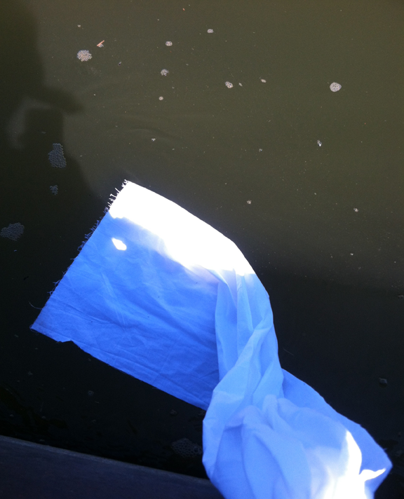
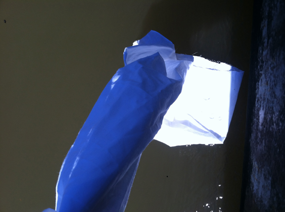
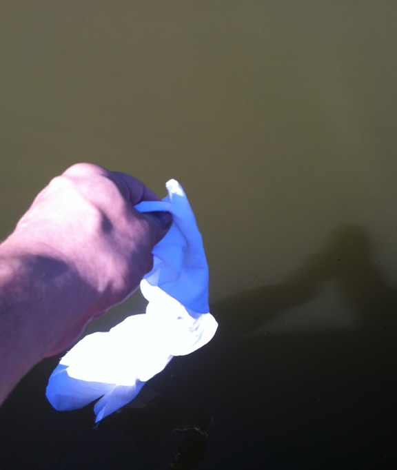
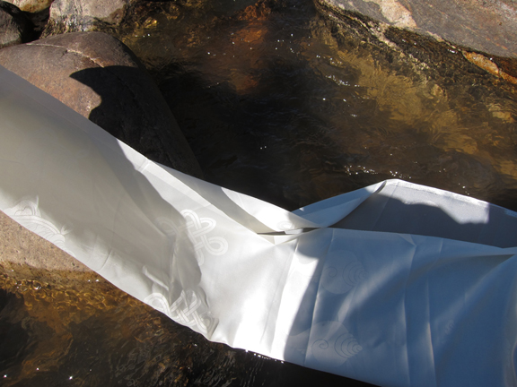
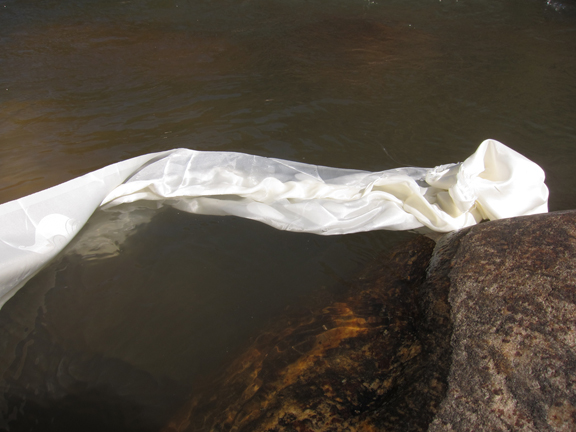
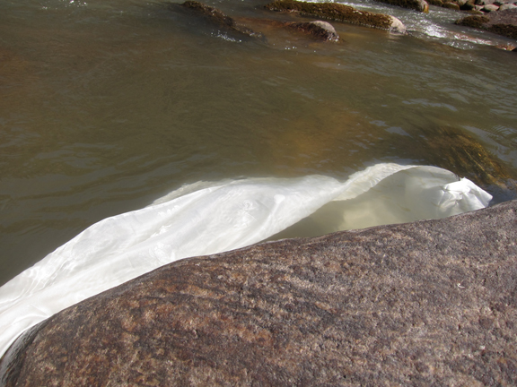
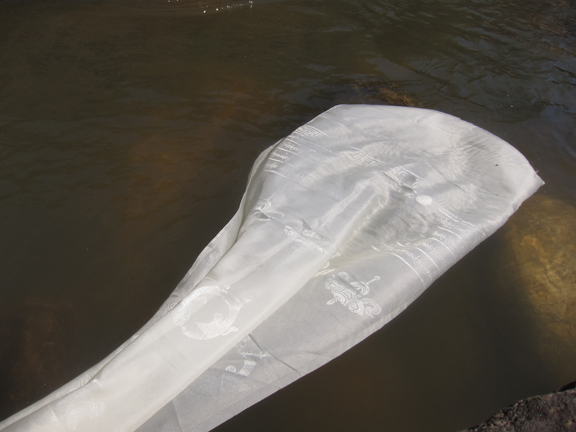
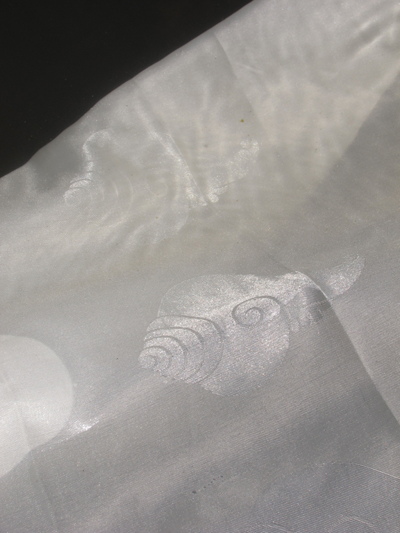
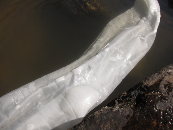
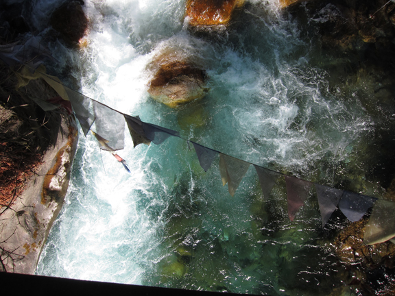
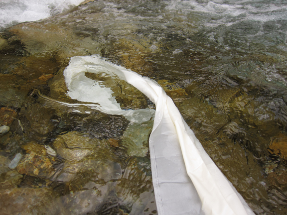
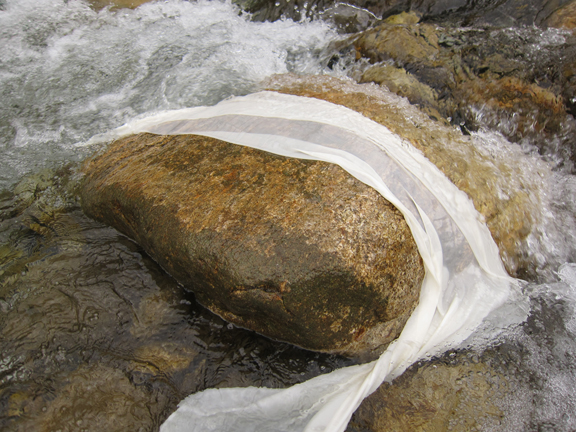
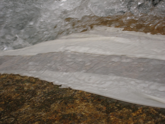
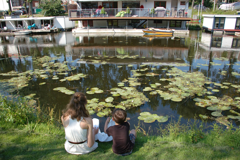
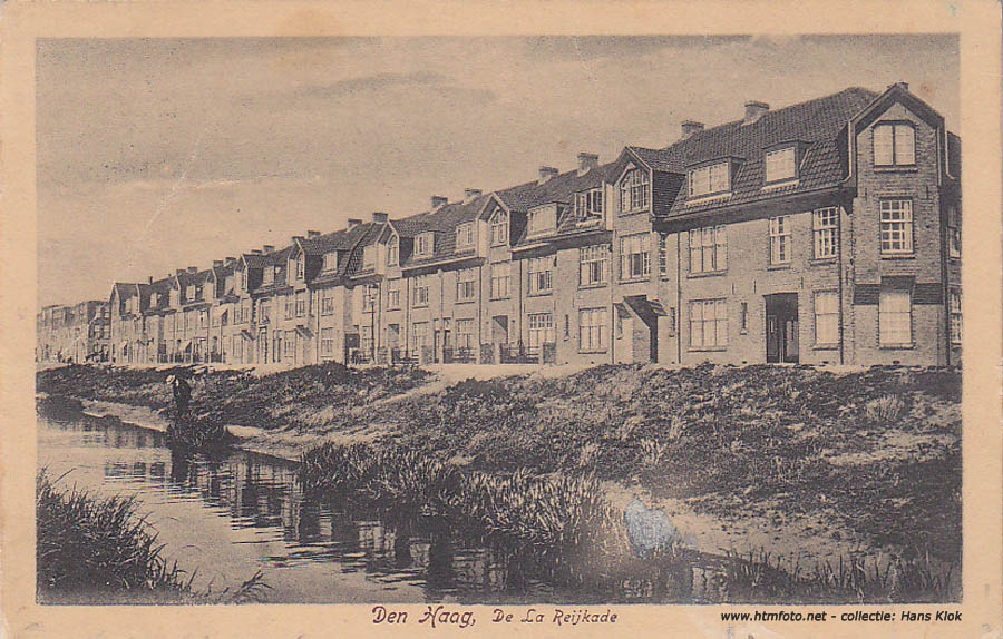
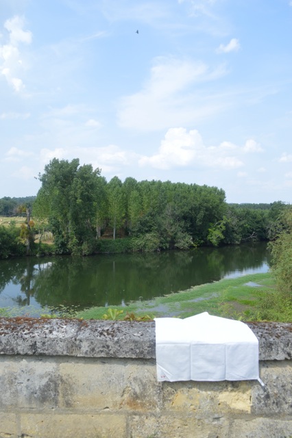
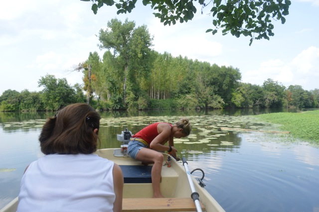
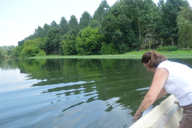
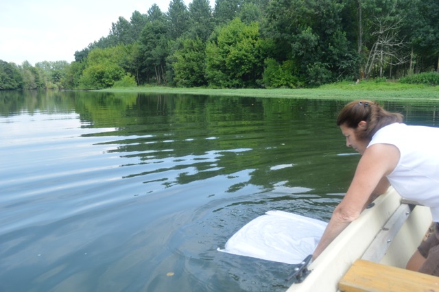
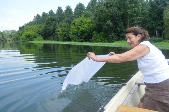
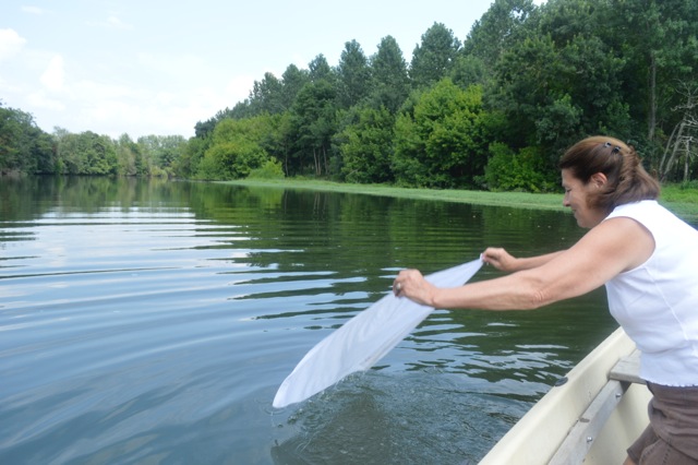
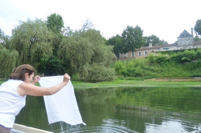
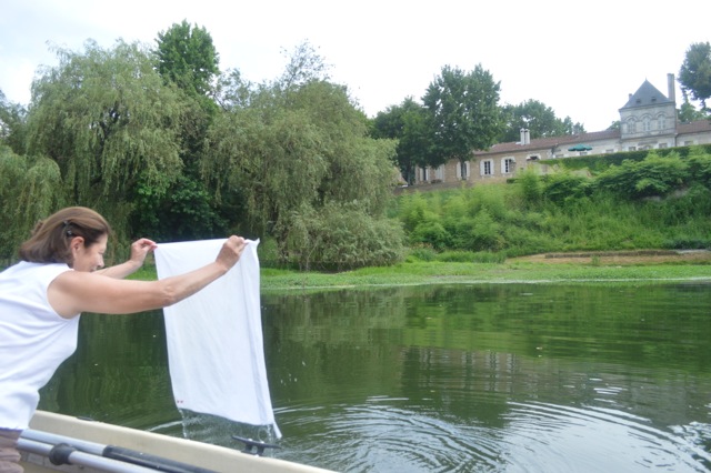
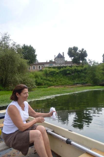
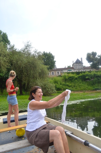
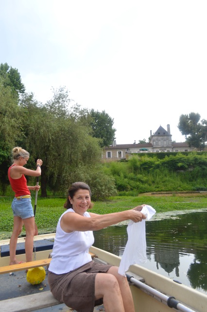
The Murphy family lived in the western part of Holland in The Haag for two years. Before moving to the United States they took white cloth and sat along the great canal, Verversingskanaal, to dip fabric in the water and capture part of a story.
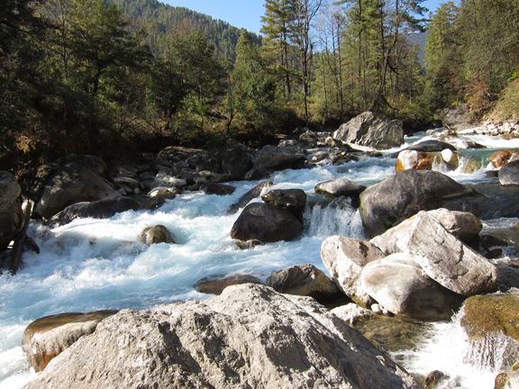
The formation of the Netherlands took place after the last Ice Age as sea levels began to rise and fill the lowland plain that is now the North Sea. The incoming sea created barrier walls along the higher land mass. Silt from flowing rivers settled behind these natural barriers creating a layers of rich peat over the centuries. Channels, canals, and dikes were formed in the Middle Ages to drain these bogs in order to take advantage of the soil and control intrusive salt water. Today, sea levels continue to rise and water management is a topic in need of constant attention. The regional complexities can be seen in this PDF report “Water management of the Netherlands.”
The Haag (Hague) is the capital city of South Holland and is the seat of the Government in the Netherlands. Founded around 1230 The Haag has a history of Dutch, French, and British influences as well as from the East Indies, now Indonesia, where Dutch Colonies were established. The Haag was home to the insightful painter Jan Steen (1626-1679) and dancer turned spy Mata Hari (1876-1917.)
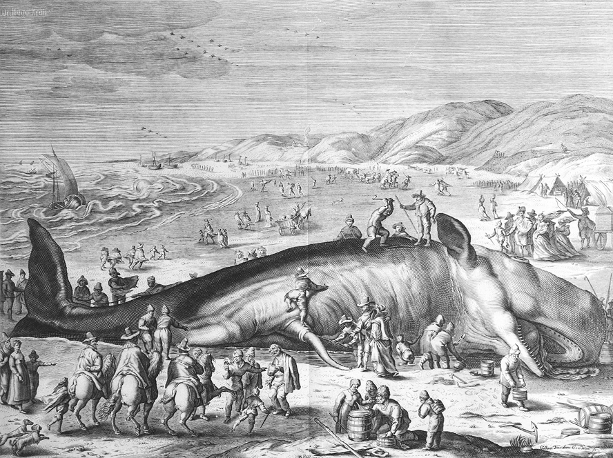
Here is an etching by Joannes Clericus of a sperm whale, 70 feet long, that beached itself on the coast between the districts of Scheveningen and Katwijkn in February 1598. The Netherlands have a heritage that melds marine aquaculture, the use of wind power, and glorious indigenous flowers.
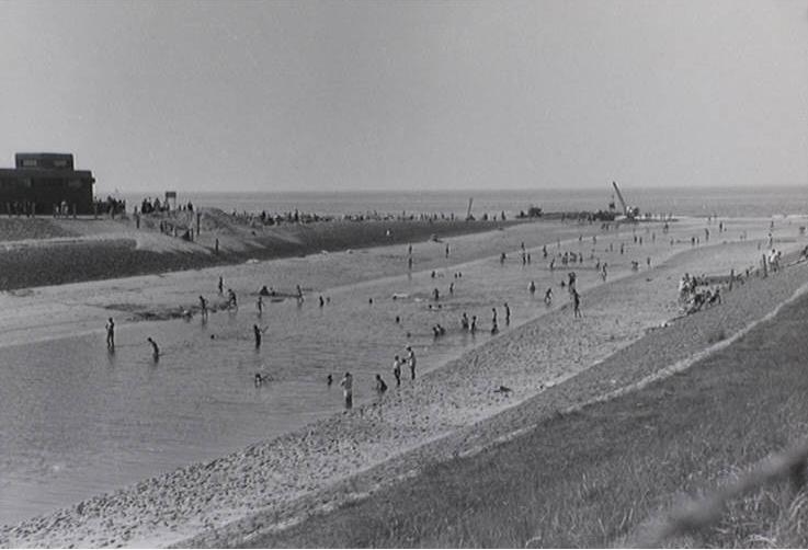
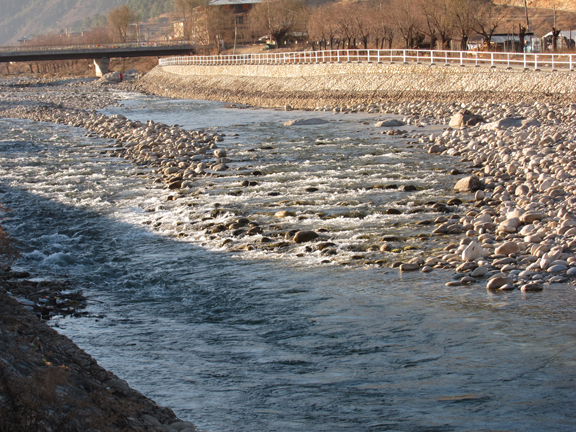
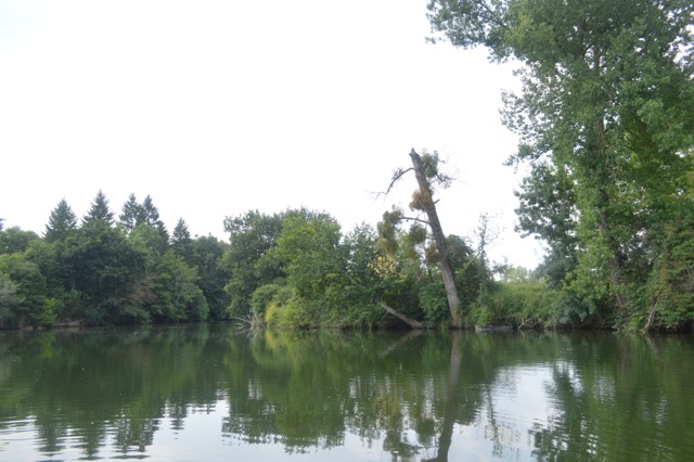
The Verversingskannaal meeting the North Sea in 1949. As long as fresh water continues to run in sufficient amounts the problem of salinisation is kept under control. However, The Netherlands are getting saltier due to the increasing amounts of seawater and brackish groundwater seeping into the surface fresh water.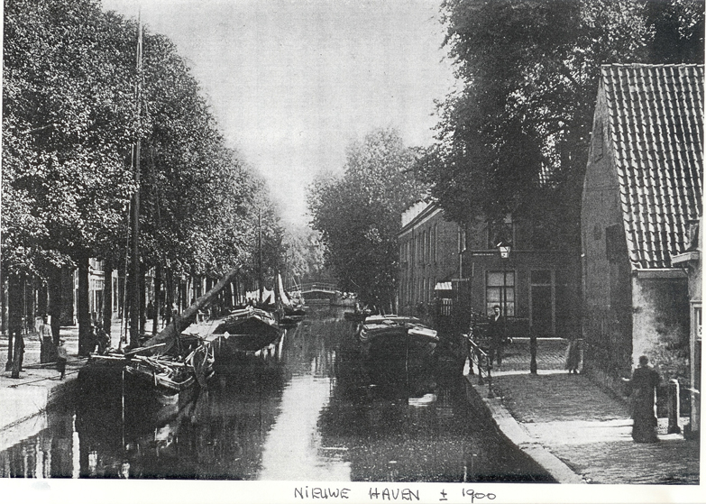
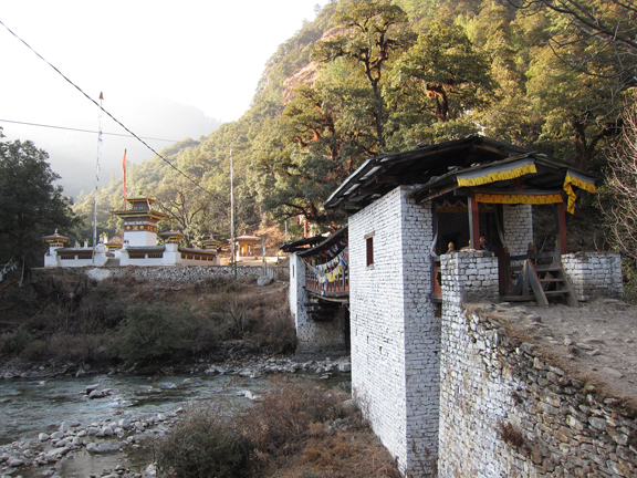
The “Ring of Canals” is normally associated with the City of Amsterdam, but The Haag also has a city center that was surrounded by a 400 year history of dense water routes, though much smaller. Canals originally served the purpose of security, and facilitated import and export trade.
There are only a few canals in The Hague, as most of these were drained in the late 19th century. The few remaining canals have high waters that fill the covering bridges, causing boaters to bend over to pass under the tight squeeze. Canal restoration plans are being discussed to open passageways for efficient mobility.
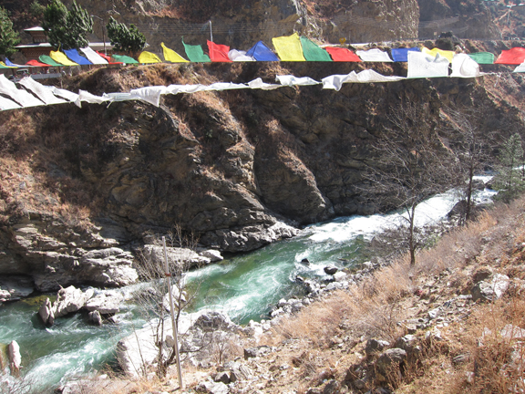
In 2000, The Haag was host to the Sixth Session the United Nations Framework Climate Change Conference (COP6 – UNFCCC.) Noteworthy is the recent development (2011) of The Hague Institute for Global Justice, or simply The Hague Institute. The Hague Institute is addresses issues at the intersection of peace, security and justice. Most recently (2014) there was a roundtable discussion to gather a concrete action plan concerning Small Island Developing States (SIDS) and the effects of climate change.
If you don’t understand this notion of danger, start by watching this trailer “The Island President,” which documents the struggles of the shrinking Maldives. Islands to watch are the Marshall Islands, Kiribati, the Carteret Islands, Vanuatu, much of Bangladesh. The displacement of our first environmental refugees need to be noticed and given attention.


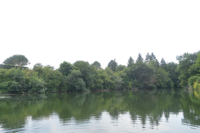
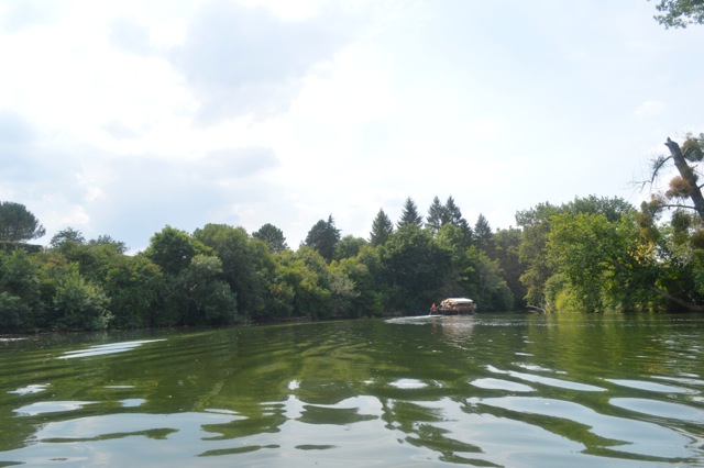


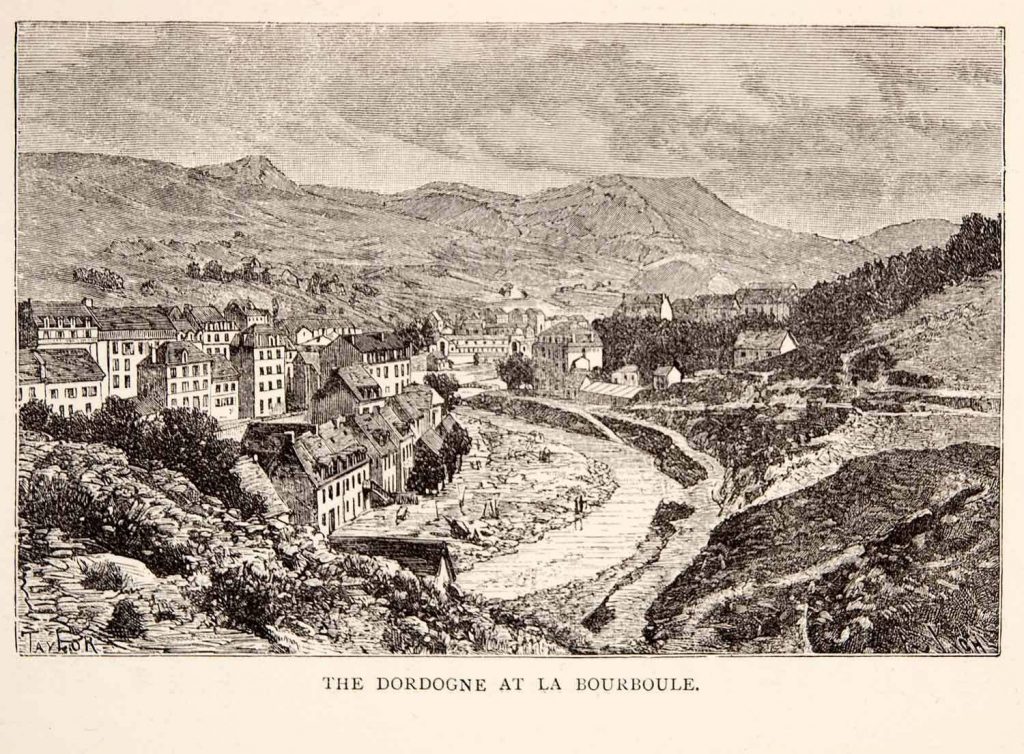 1894 wood engraving of the Dordogne Region, France
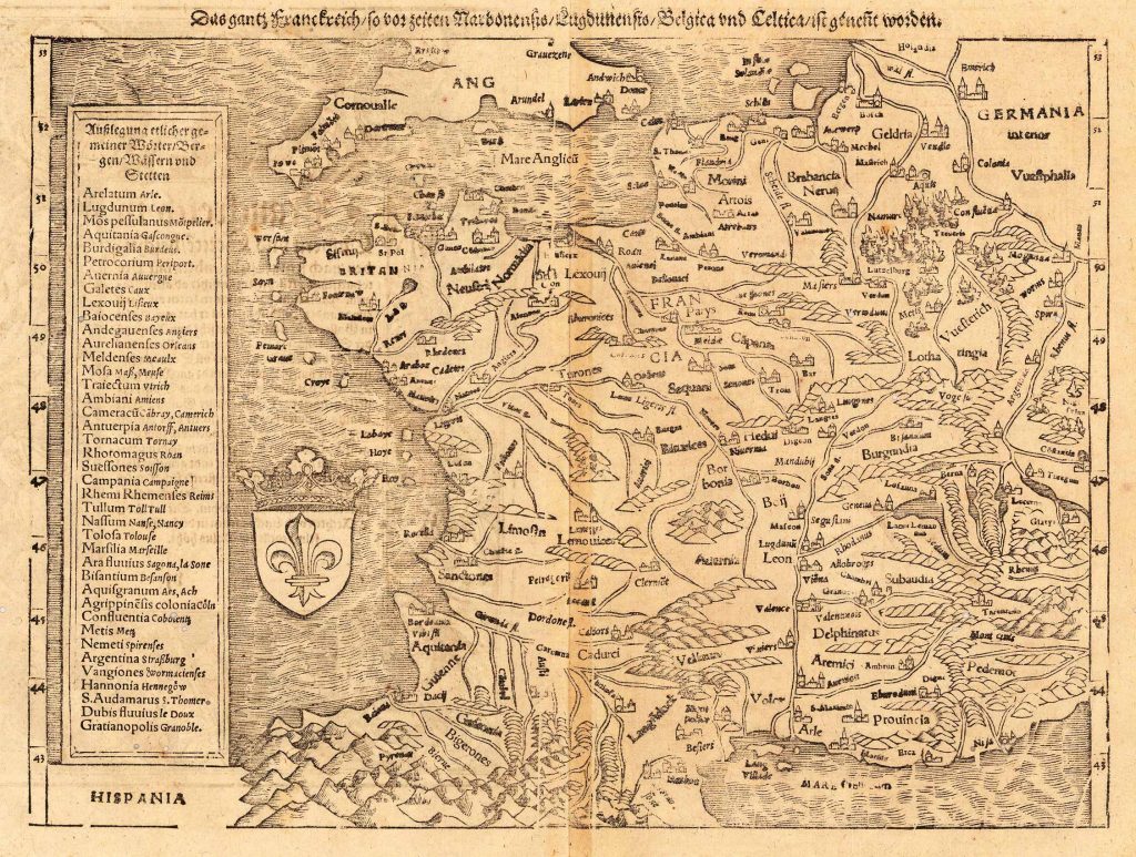 Map of France, 1578
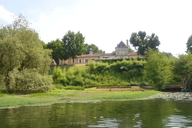
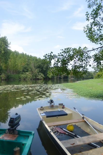
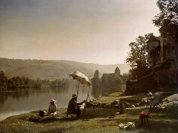 A painting of a painter painting in Dordogne, mid 1800s